
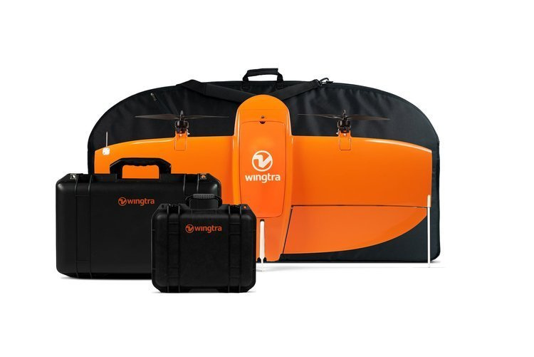
WingtraOne Unmanned aerial system
Redefining standards in aerial surveying
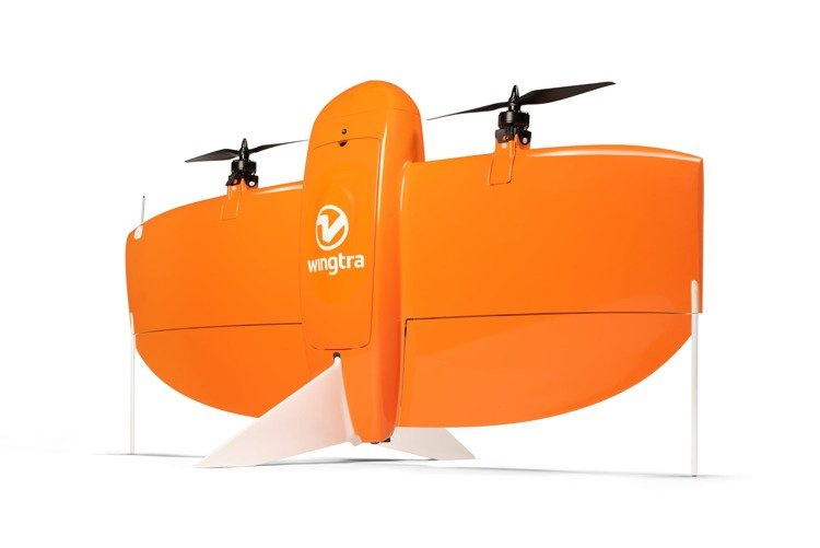
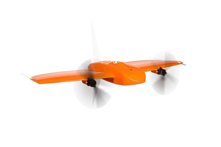
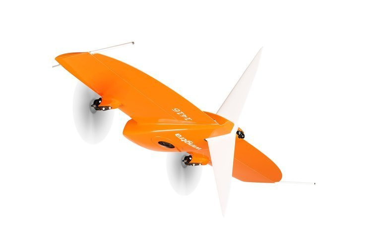
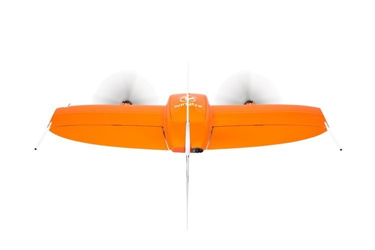
The WingtraOne VTOL mapping drone is capable of performing fast aerial surveys across wide or hard-to-reach areas and producing reliable maps with unparalleled resolution and accuracy.
WingtraOne comes equipped with a choice of Sony high-resolution mapping cameras or a professional multispectral camera by Micasense. Cameras can easily be exchanged in the field, making the same drone suitable for different applications. Using the intuitive flight planning software and the fully autonomous flying operations, surveyors can capture geo-tagged aerial images with virtually no piloting skills.
WingtraOne’s drone image outputs can be processed by all major photogrammetry software to create highly-accurate orthomosaics and 3D models.
Technical specifications
Drone
- Drone type - Tailsitter vertical take-off and landing (VTOL)
- Weight - 3.7 kg (8.1 lb)
- Max. payload weight - 800 g (1.8 lb)
- Wingspan - 125 cm (4.1 ft)
- Battery capacity - Two 99 Wh batteries (a pair of batteries required)
- Radio link - Bi-directional 10 km (6 mi) in direct line of sight, keep in mind that obstacles reduce the range
Software & tablet
- Flight planning & mission control software -WingtraPilot
- Tablet supplied - Rugged Samsung Galaxy Tab Active 2, water and dust resistant, MIL-STD-810-certified, pre-installed; interfaces to
- telemetry module and manual back-up controller
Operation
- Flight speed - 16 m/s (35.8 mph)
- Wind resistance - Up to 8 m/s (19 mph) wind speeds, 8 m/s (18 mph) wind speed measured on the ground corresponds to approximately 10 m/s (22 mph) surface wind
- Maximum flight time - Up to 59 min, See Knowledge Base for what flight time to expect in different flying conditions
- Min. space for take - off and landing - 2 m × 2 m (6.6 ft × 6.6 ft)
- Temperature: -10 to +40 °C (14 to 104 °F)
- Max. take-off altitude above sea level - 2500 m (8200 ft), With high-altitude propellers it is possible to take off from up to 4800 m (15,700 ft) and fly up to 5000 m (16,400 ft) AMSL
- Weather - IP54, not recommended to fly in fog, rain and snow
- Ground Control Points required - No (with PPK option), Using 3 checkpoints to verify the accuracy is recommended
- Auto-Landing accuracy - < 5 m (< 16 ft)
Results
- Max. expected coverage in one flight at 120 m (400 ft) altitude above take-off point*
Sony QX1 + 20 mm
270 ha (667 ac)
2.6 cm (1.0 in)/px GSD
Sony RX1II
210 ha (519 ac)
1.5 cm (0.6 in)/px GSD - Max. expected coverage in one flight at 3 cm/px (1.2 in/px) GSD*
Sony QX1 + 20 mm
310 ha (766 ac)
141 m (463 ft) altitude
Sony RX1II
400 ha (988 ac)
234 m (768 ft) altitude - Lowest possible GSD
Sony QX1
1.4 cm (0.55 in)/px
65.8 m (216 ft) altitude
Sony RX1RII
0.7 cm (0.3 in)/px
55 m (180 ft) altitude - Mapping accuracy with PPK, Absolute accuracy (RMS) without GCPs
Absolute accuracy (RMS) Sony RX1RII
Horizontal down to 1 cm (0.4 in)
Vertical down to 2 cm (0.8 in)
Relative accuracy
Horizontal: down to 0.003 % - Mapping accuracy without PPK (without GCPs)
Absolute accuracy (RMS)
3 to 5 m (9.8 to 16.4 ft)
Relative accuracy
Horizontal 0.15 %
*Reference conditions: 20 m (66 ft) transition altitude, 1.2 km (0.75 mi) farthest distance from home, < 1m/s (2 mph) wind, 15°C (59°F) air temperature, 60% side overlap; max. take-off altitude — 500 m (1640 ft) above sea level