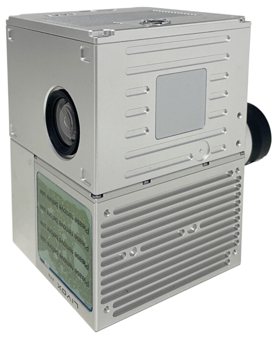
GS100C LiDAR
Aerial Scanning & Imaging All-in-One

Strong aluminum mount for GS100C LiDAR for H850
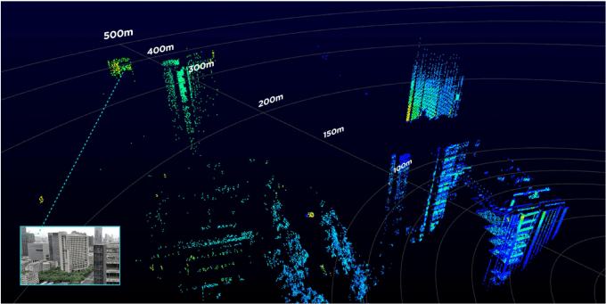
The Livox Avia adjusts its detection range according to the intensity of ambient light, while maintaining noise at a low level. The detection range increases to 450m under low-light conditions (such as on a cloudy day, indoors or at night), ensuring distant objects are captured in detail.

Dual-Scanning Mode
The use of multi-line laser and high-speed scanning enable the Livox Avia to achieve a point cloud data rate of up to 240,000 points/s. The high performance device is equipped with both repetitive and non-repetitive scanning modes, to meet the needs of different scenarios.

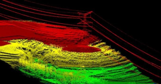
Color Point Cloud
gAirHawk is a lidar scanning system acquisition monitoring and point cloud computing software self-developed by Geosun Navigation. It supports real-time configuration and monitoring of field data acquisition systems, decoding of real-time and post-process laser scanning data, calculation and display of point cloud data, supporting software for Geosun lidar scanning system.


IN THE BOX:
- GS100C LiDAR for H850
- gAirhawk software with license key on USB stick
- SD card reader
- USB-C cable
- 128 GB SanDisk Extreme Micro SD card
- Lens hood
- Carrying case
OPTIONAL:
SURVEYING:
| Flight Height | Accuracy | Single Flight Operation (km²) |
| 50m | ≤5cm | 0.88 |
| 70m | ≤7cm | 1.28 |
| 110m | ≤10cm | 1.92 |
Specifications:
Camera
FOV: 83°
Effective Pixel: 26MP
Focal Length: 16 mm
System Parameter
Accuracy: ≤10cm@110m
Weight: 1070g
Working Temperature: -20°C to+ 55°C
Dimension: 13.8×9.1×9.4cm
Storage: 64GB Max support 128GB TF Card
Laser Unit:
Measuring Range: 230m@20%
Laser Class: 905nm Class1 (IEC 60825-1:2014)
Laser Line Number: Equivalent to 64-beam
FOV (Horizonal/Vertical): 70°the circular view
Range Accuracy: 2cm
Data: Triple echo, 720,000 Points/Sec
POS Unit:
Update Frequency: 200Hz
Pitch/Roll Accuracy: 0.025°
Heading Accuracy: 0.080°
Position Accuracy: ≤0.05m
Pre-Processing Software
POS (Trajectory) Software: Shuttle
Point Cloud Software: gAirHawk


