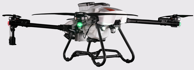
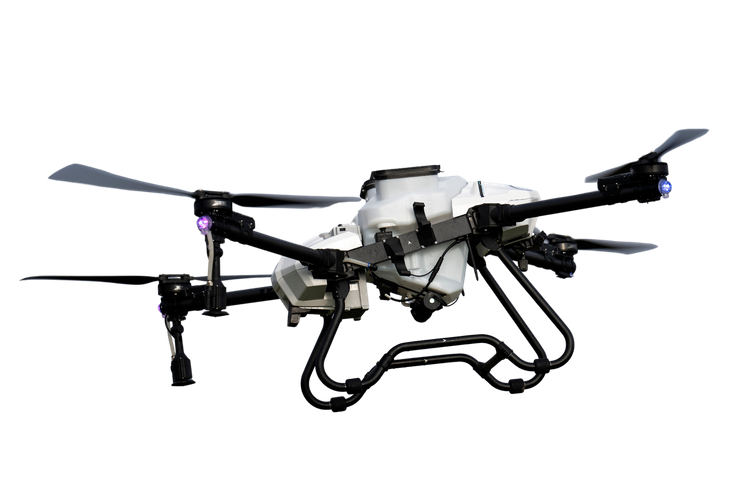
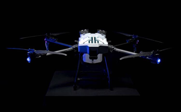
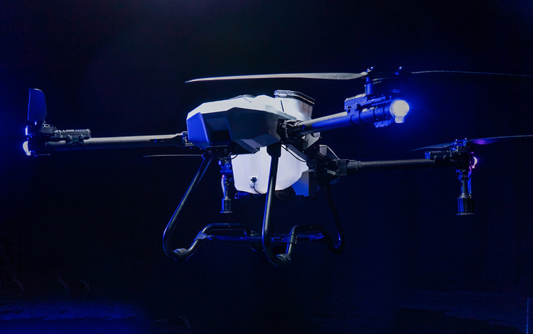
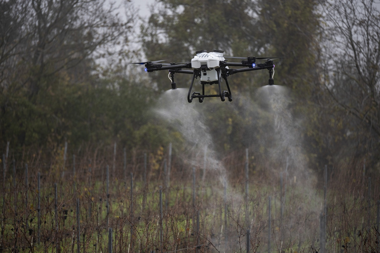
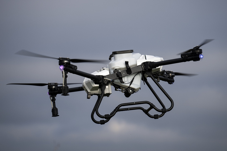
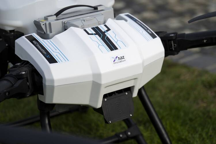
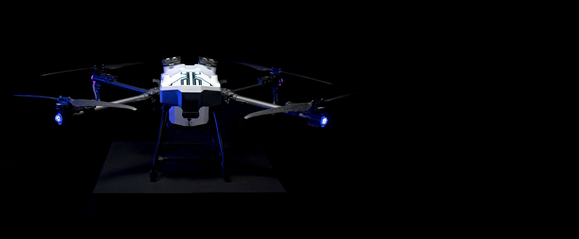
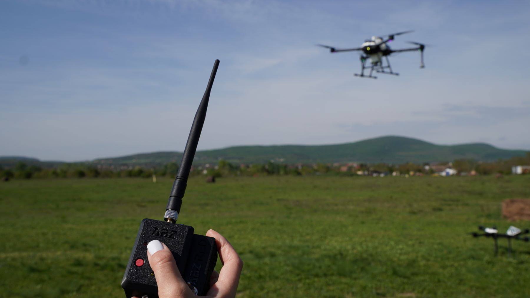
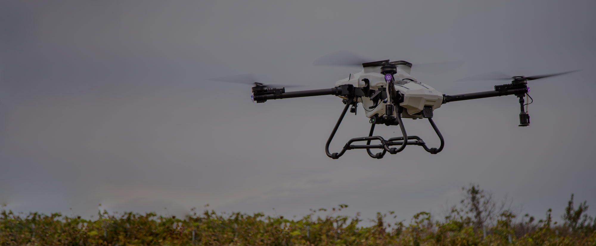
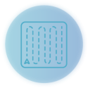
ABZ Innovation L30 Spraying Drone
Save by buying more

24 537,85 € net/1szt.30 181,55 € incl. VAT/1szt.
Lowest price in 30 days before discount 13 077,14 € net16 084,88 € incl. VAT/1szt.
Regular price 24 565,73 € net
/1szt.30 215,85 € incl. VAT/1szt.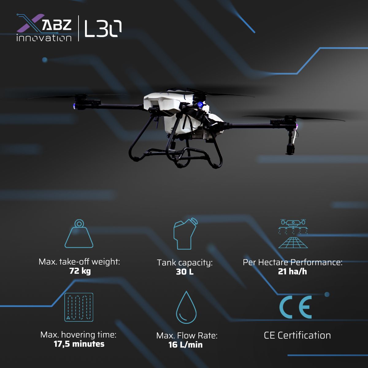
Meet the ABZ Innovation L30
The first European-made 30-liter drone with a CDA spraying system.
The ABZ Innovation L30, featuring an advanced flight planning algorithm and optimized downward airflow, offers unparalleled performance in drone technology, ensuring precision and efficiency for a wide range of applications.
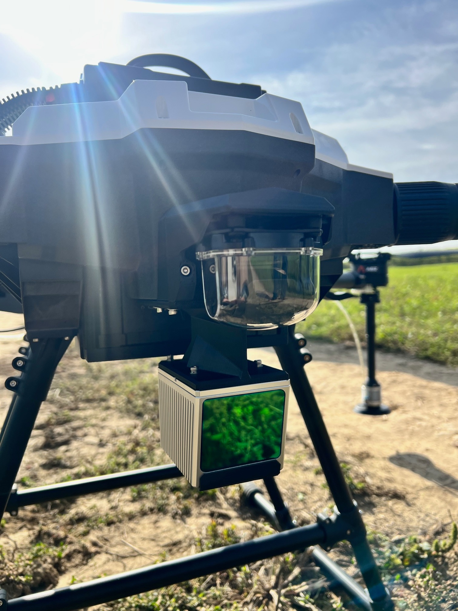
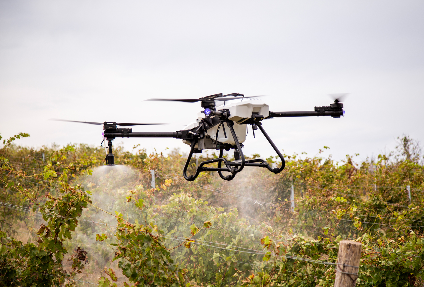
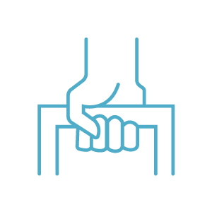
- Liquid cooled CDA spraying system
- CE Certification
- Advanced RTK system
- Can be equipped with a granule spreader
Accessories not included
L30 BATTERY 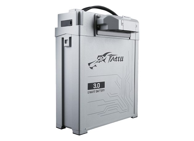 |
L30 CHARGER 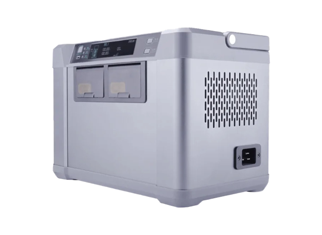 |
L30 SPREADER 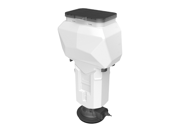 |
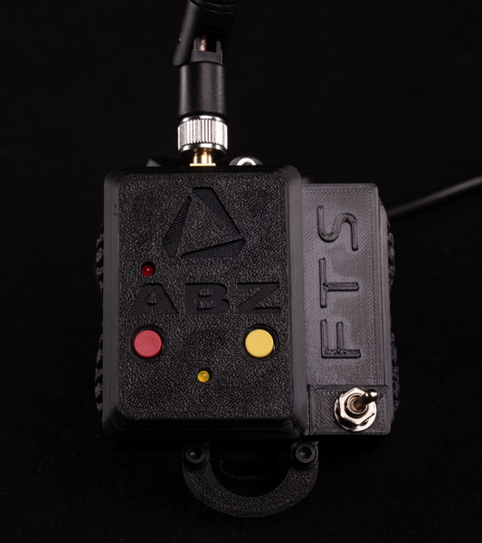
Possibility to equip an additional dedicated flight termination system (FTS)
Based on the unique features of the L10 Series, meeting the demand for a bigger version, we have created the first European-made 30-liter drone with a CDA spraying system.

Efficiency

Reliability

Repair service
and after-sales support

Cost-effective
operation
Advanced flight
planning

Portability

Granule
spreader
Efficiency
- CDA spraying system
- Maximum flow rate: 16 l/min
- Adjustable droplet size
- Adjustable working width
Spray drone 01 (10 l)
Popular spray drone equipped with a 10-liter tank
6 ha/h
L10 (10 L)
Popular spray drone equipped with a 10-liter tank
10 ha/h
Spray drone 02 (30 l)
Popular spray drone equipped with a 30-liter tank
16 ha/h
L30 (30 L)
Popular spray drone equipped with a 30-liter tank
21 ha/h
The ABZ Innovation L30, featuring an advanced flight planning algorithm and optimized downward airflow, offers unparalleled performance in drone technology, ensuring precision and efficiency for a wide range of applications.
Repair service and after-sales support
- European-based production
- Europe-based service center
- Stable supply of spare parts
- Replacement service
The benefits of the L30
 |
Stability and security |
 |
Unique dispersion system |
 |
Sustainable technology |
 |
Easy to use |
 |
Cost-effective operation |
 |
Easy transport and portability |
 |
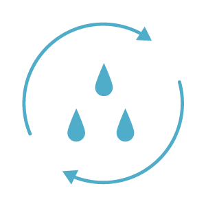
Water-efficient operation |
 |
Continuous operation |
 |
Wide range of applications |
 |
Continuous service and support |
 |
CE Certification |
|
|

Application areas
 Agriculture
 Vineyard
 Grains
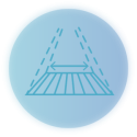 Monitoring & surveillance
If you are interested in the ABZ Innovation L30, feel free to contact us.
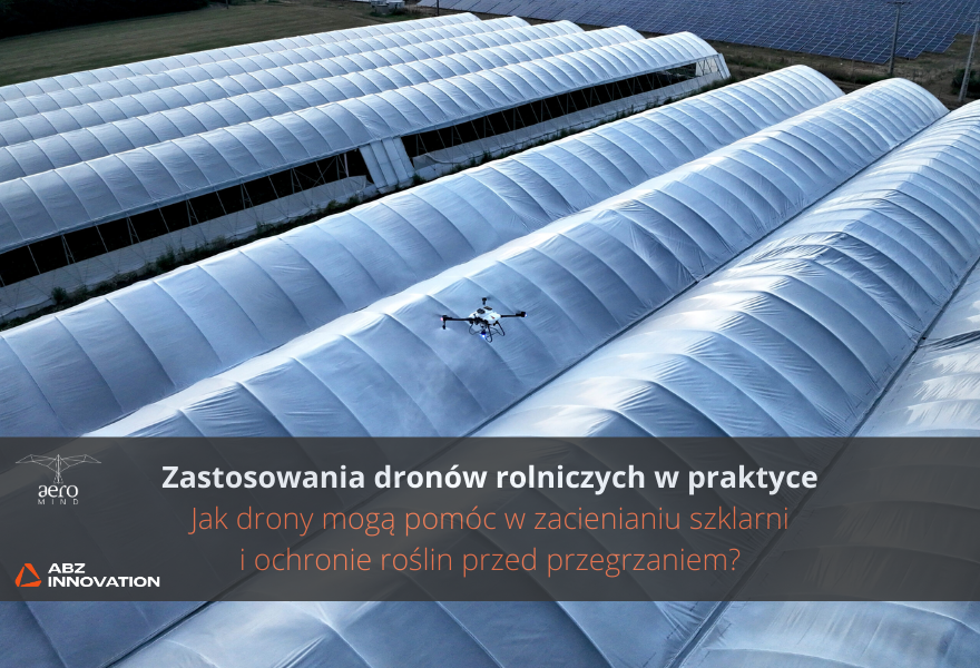
Do you need help? Do you have any questions?Ask a question and we'll respond promptly, publishing the most interesting questions and answers for others. Another example of how ABZ Innovation's agricultural drones can be used in practice. This time we show how to effectively shade greenhouses, saving time and resources while keeping plants healthy.
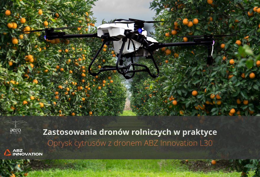
In the first post of the "Agricultural drone use cases” series, we discuss how the ABZ Innovation L30 drone is transforming citrus plantation spraying. Thanks to its advanced technology, the drone enables precise spraying with minimal water and chemical consumption, while automating the entire process for efficient and fast plantation coverage. This innovative solution not only reduces operating costs, but also minimizes the negative impact on the environment, supporting sustainable development in agriculture.
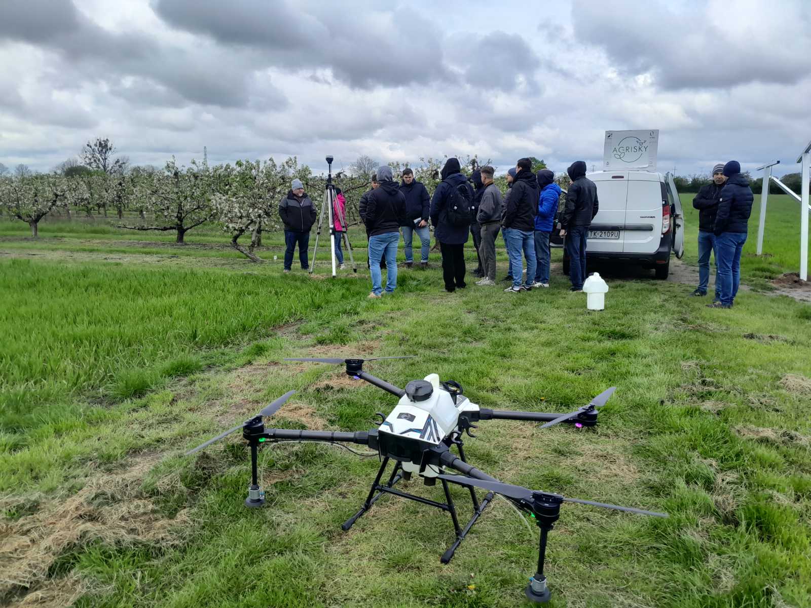
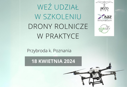
We are pleased to announce that we have successfully completed another edition of the "Agricultural Drones in Practice" training, which took place on April 18th at the Przybroda Agricultural and Horticultural Experimental Farm. We would like to thank all the participants for their presence and engagement!
The first edition of "Agricultural Drones in Practice" is behind us! On February 28-29, 2024, in the picturesque farm in Przybroda, we gathered enthusiasts and experts in agriculture. It was a unique opportunity to see how innovative use of drones opens new perspectives in agriculture. Sharing knowledge by Maciej Dusza from Agrisky and the commitment of participants made the training an unforgettable experience. Curious about what exactly happened? Details and more information about future editions can be found on our social media and website.
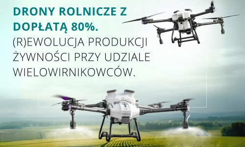
Discover how drones are revolutionizing agriculture, ushering in a new era of sustainability and precision! Learn how these innovative technologies are transforming crop management, optimizing resources and minimizing environmental footprints. Click to learn about the future of agriculture and how drones are contributing to better and greener food production!