

Customer based developments
The number one priority is to build the development roadmap based on the customers’ feedback. With the use of open-source

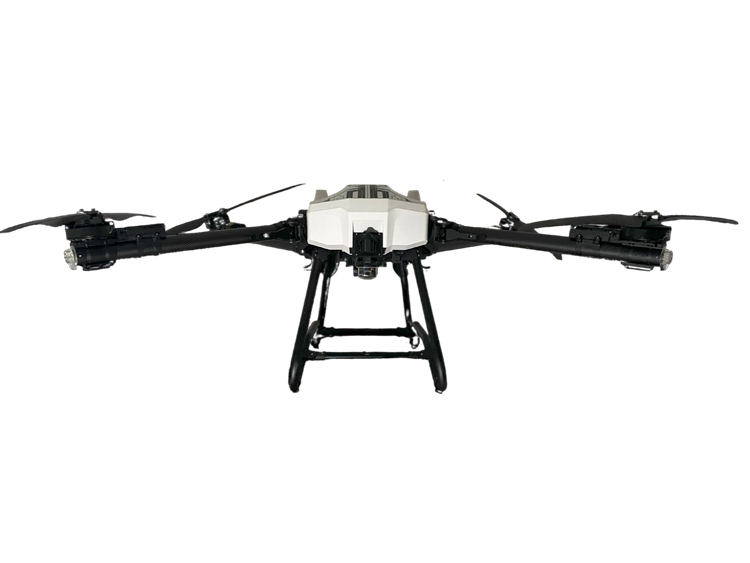

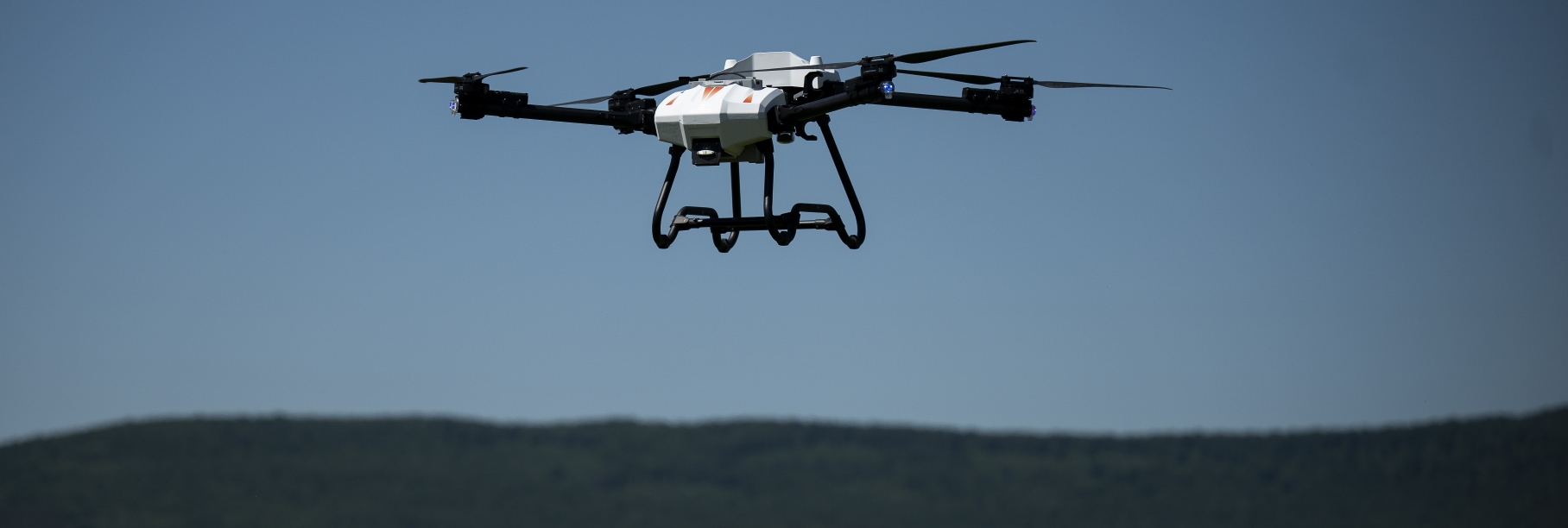
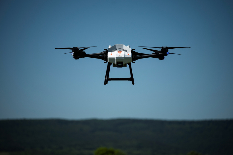
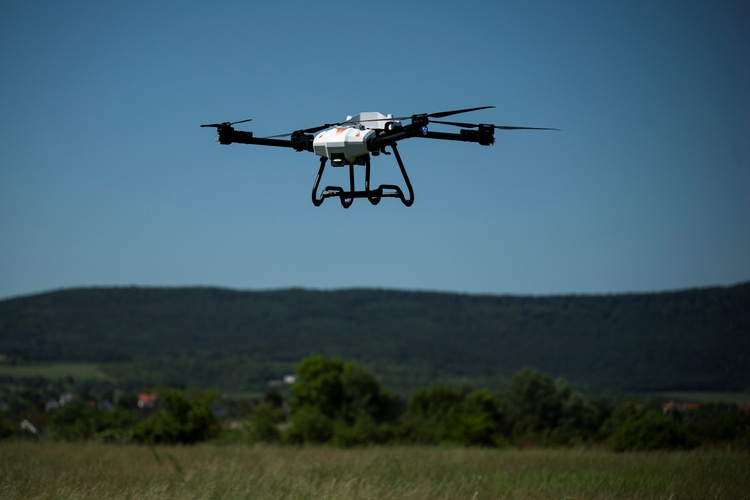
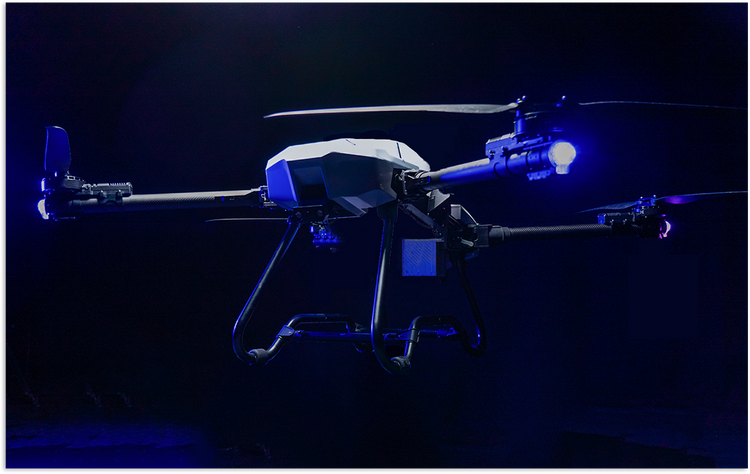
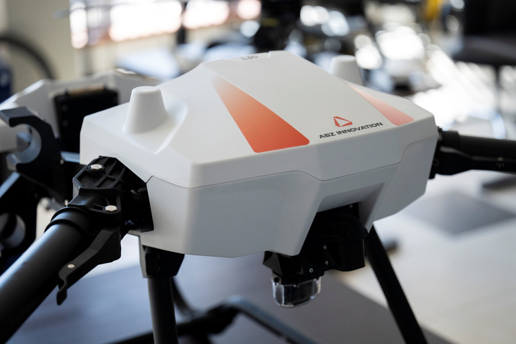
The latest generation of multifunctional drones
GENERAL
INFORMATION
This next-generation multifunctional drone provides capabilities through a strong and stable construction. The M40 is a unique solution for many industries. Convenient and easy-to-use drone technology with continuous support and service.
|
40 kg
load capacity
|
22 min
hovering time
|
CE
certification
|
|
Cost effective
battery management
|
Ideal for
constructions and heavy-lifting
|
OSS
ArduPilot
|


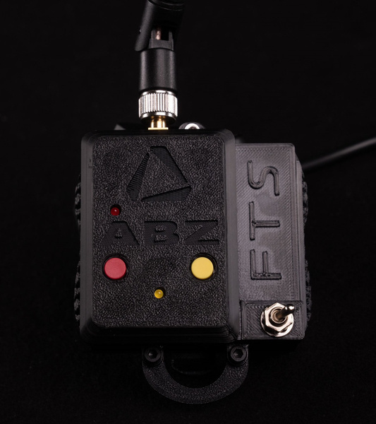
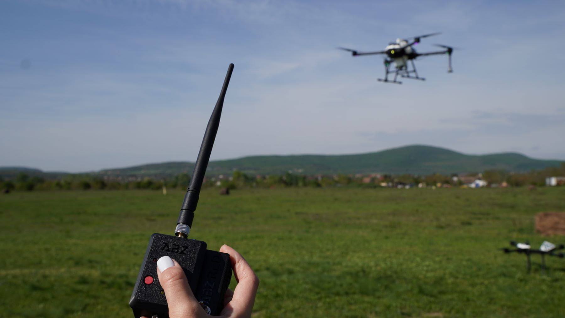
Possibility to equip an additional dedicated flight termination system (FTS)
| Specification | Value |
|---|---|
| Total weight (W/O batteries) | 25 kg |
| Max. take-off weight | 75 kg |
| Max. payload weight | 40 kg |
| Max. payload dimensions | 800x800x800 mm |
| Dimensions unfolded | 2435 x 2541 x 752 mm |
| Dimensions folded | 979 x 683 x 752 mm |
| Max. hovering time | Unloaded: 20 min, Loaded (MTOW): 7.5 min |
| GPS | GPS, GLONASS, Galileo, BeiDou, Emlid LoRa 868Mhz |
| Hovering precision | ±10 cm (RTK) ±2m (without RTK) |
| Rotor dimensions | 43 14 |
| Battery type | Li-Po Smart |
| Battery capacity | 25000 mAh |
| Battery voltage | 51.8V |
| Battery weight | 9.4 kg |
| Battery charging time | min. 15 minutes |
| Battery charger | 4 ports (2 balance) |
| Battery charger power | 3000 W |
| Payload connections | Optional 0-55V - Configurable |
| Signal outputs | 4 x PWM & 6 x Relay from flight controller |
| Signal inputs/outputs | 6 x from flight controller |
| IP protection | Limited water and dust resistance |
| Easy transportability | Modular payload attachability |
| Obstacle avoidance | According to pregenerated shapefiles |
| FPV camera | Wide angle, vertically adjustable (0-180°) |
| Camera resolution | FHD |
| Effective signal range of RC | ~8 km |
| Altitude measurement | Barometric (optional: LIDAR) |
| Flight planning | Software source code Open |
| Flight plan creation on a PC | Area SHP and line SHP files |
| Software compatibility | Multiple |
| Downward facing camera for obstacle selection | Optional |
| RTK base | Optional |
| Data security | No data transmission to remote servers |
| Frequency bands | GNSS receiver 1.58GHz, Radio Control and Telemetry 2.4GHz, WLAN 5GHz |
| Max. pitch angle | 25° |
| Max. level speed | 15 m/s |
| Max. flight altitude (AMSL) | 4500 m |
| Max. flight altitude (AGL) | 120 m |
| Max. tolerable wind speed | 10 m/s |