- Polish Unmanned Aerial Vehicle

Polaris
The Best Tool for Aerial Observation
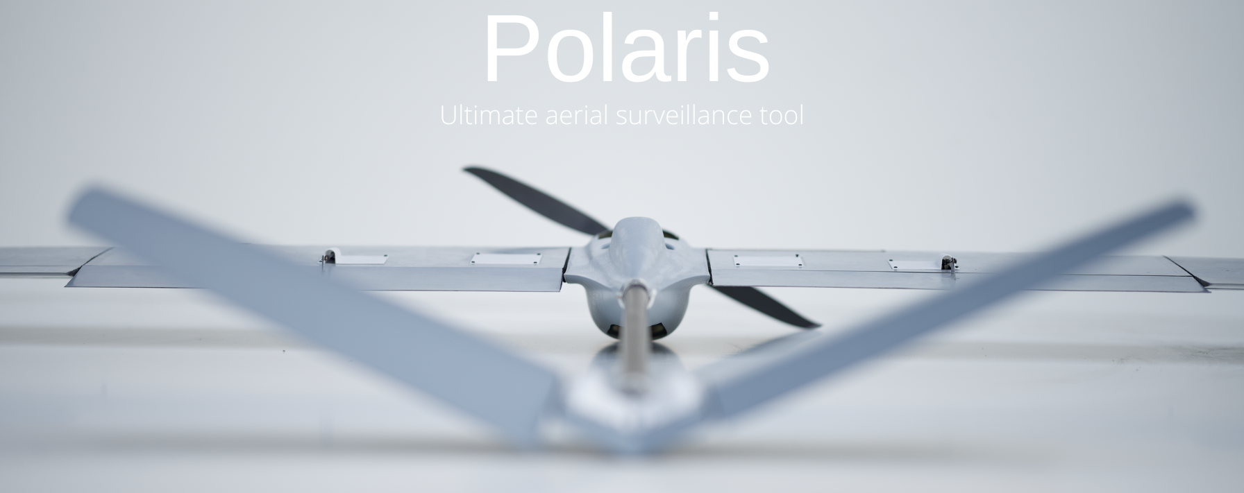
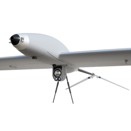
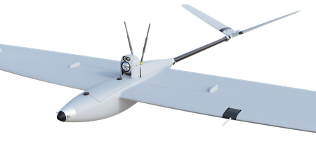
The Polaris UAV is an exceptional aircraft designed from scratch in Poland with long-lasting and silent operations in mind. It is smaller, lighter, and more economical than current solutions. It fits in a small backpack and can carry various payloads, such as EO/IR, mapping cameras, communication relays, or electronic warfare devices (SIGINT). It is hand-launched and ascends at a 45° angle, eliminating the need for ground infrastructure. The aircraft lands on its back (to protect the payload) at a 45° angle using flaps and reverse thrust. It is equipped with the patented "Thermal AI" algorithm, allowing it to find and use thermal currents to extend flight time without the engine.


Mobility
Thanks to the low weight of the complete system (8-13kg) and the small size of the transport backpack, the Polaris aircraft is operated by one person.
Any Launch and Landing Site
Polaris is hand-launched, and landing does not involve dropping the optical sensor by parachute. The drone lands in one piece on its back, thus protecting sensitive cameras.


Manufacturer
FlyFocus sp. z o.o. is a fully Polish company operating in Warsaw. For years, it has specialized in the design and production of unmanned aerial vehicles for the civilian, military, and law enforcement markets. The core team consists of experienced engineers with a wide range of skills and expertise in UAV systems.
The company also provides product development and custom engineering services, not limited exclusively to UAV systems. FlyFocus sp. z o.o. is a contractor for research and development programs of modern technologies for national defense.
Technical Specifications
| Material | carbon-glass composite |
| Drive | quiet electric motor with folding propeller |
| Wingspan | 2.2 m |
| Maximum takeoff weight | 4.5 kg |
| Total kit weight with backpack | 8-14 kg |
| Flight time | up to 3 hours (up to 4 hours with Thermal AI algorithm) |
| Speed range | 45-110 km/h |
| Maximum altitude | 4000 m ASL |
| Temperature range | from -20 to +50 °C |
| Preparation time for flight | 5 min |
| Navigation | GPS+INS, additional anti-jamming systems or GPS-free missions |
| EO/IR sensors | day camera with 40x zoom, thermal camera 640x480 (option 1280x720), object recognition and tracking |
| Launch | hand launch at 45° |
| Landing | inverted landing on belly with 10-50° glide slope |
| Backpack dimensions | 64x40x30 cm |


