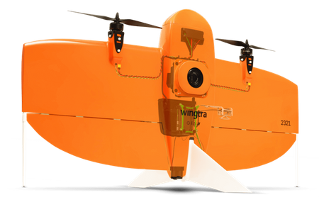
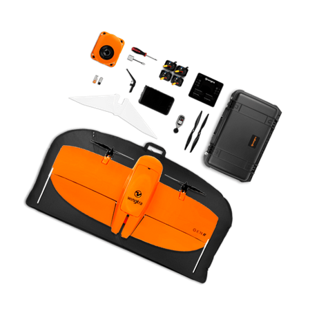
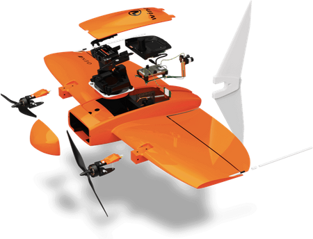
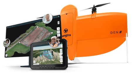
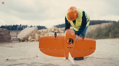
WingtraOne GEN II Unmanned Aerial System.
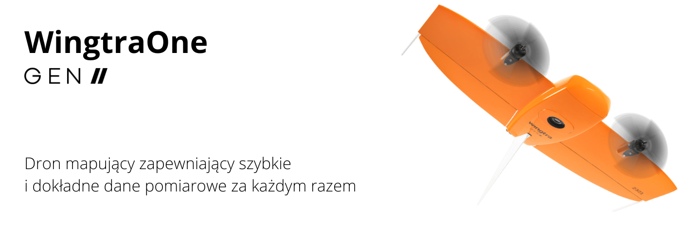
Photogrammetry
Flight time up to
59 min *
Full-frame camera
61 MP
Lowest GSD
0.7 cm/px
Absolute horizontal accuracy down to
1 cm **
Coverage at lowest GSD
110 ha ***
LIDAR
Coverage in a single flight
360 ha
at 90 m altitude, 30% side overlap
Vertical accuracy down to
3 cm
Up to
270 pts/m²
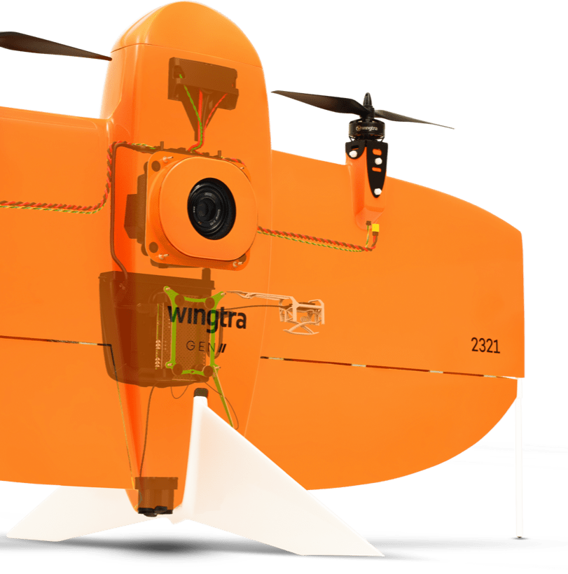
Get your survey data faster
The unique set of mapping drone features allows you to minimize flight time and increase work efficiency, whether you're undertaking a new project in the field or analyzing data in the office.
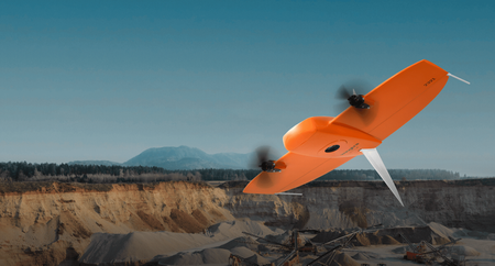
Efficient fixed-wing flight
Fly at 16 m/s for up to 59 minutes per flight to cover a large area.
61 MP camera
The drone can capture high-resolution images, allowing for a larger area and more detail in each shot.
No ground control points (GCPs)
With a high-precision GNSS receiver, you no longer need to set up ground control points. Just three checkpoints are enough to verify map quality.
Lower image overlaps
High-quality optics allow for more efficient mapping, even with lower image overlaps, which increases area coverage during a single flight.
Data collection speed
WingtraOne RGB61
Other fixed-wing drones
Multicopter drones
Up to
11x
faster than multicopter drones
Up to
2x
faster than standard fixed-wing drones
Values refer to the most commonly used competitor drone and camera models. These numbers can vary depending on factors such as overlap, camera model, and flight altitude.
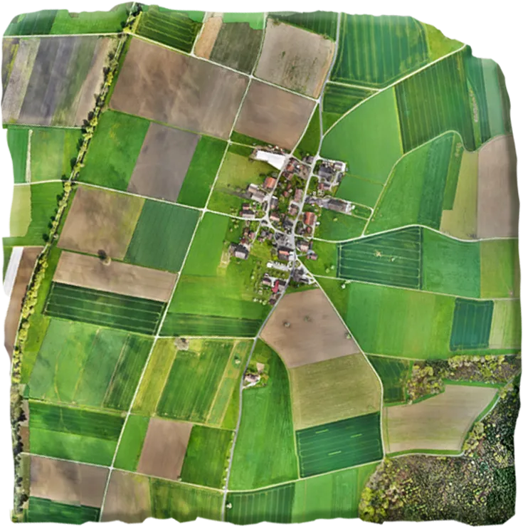
Photogrammetry - Maximum coverage with one flight
at 120 m (400 ft) flight height

WingtraOne MAP61
61 MP sensor
460 ha (1140 ac)

Other fixed-wing drones
20 MP sensor
220 ha (540 ac)

Multicopter drones
20 MP sensor
50 ha (120 ac)
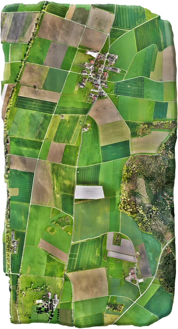

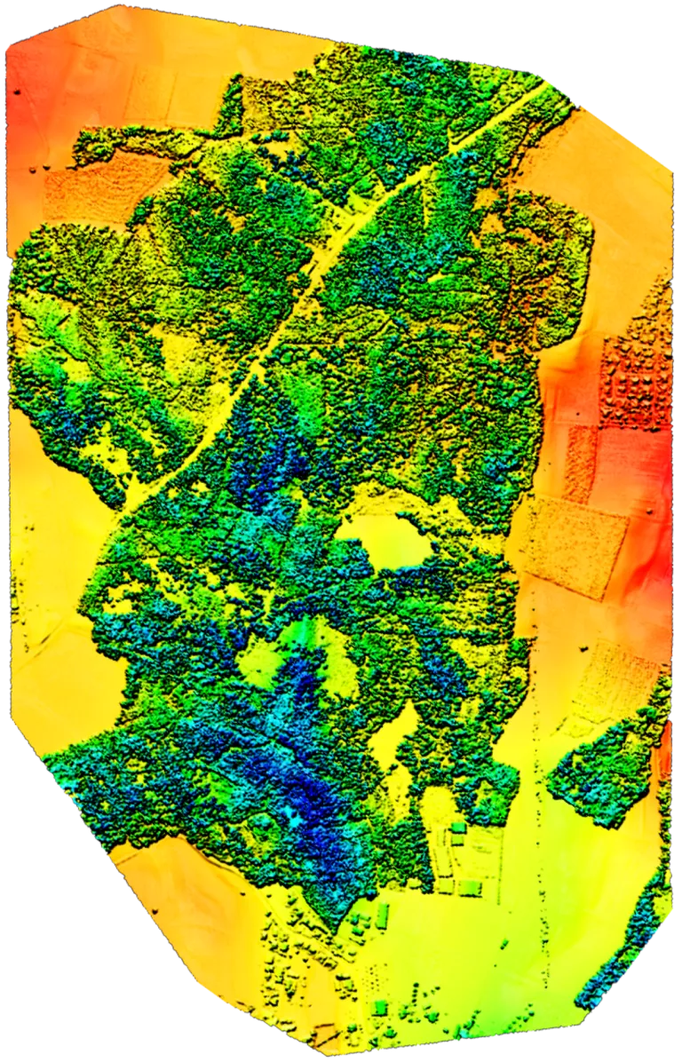
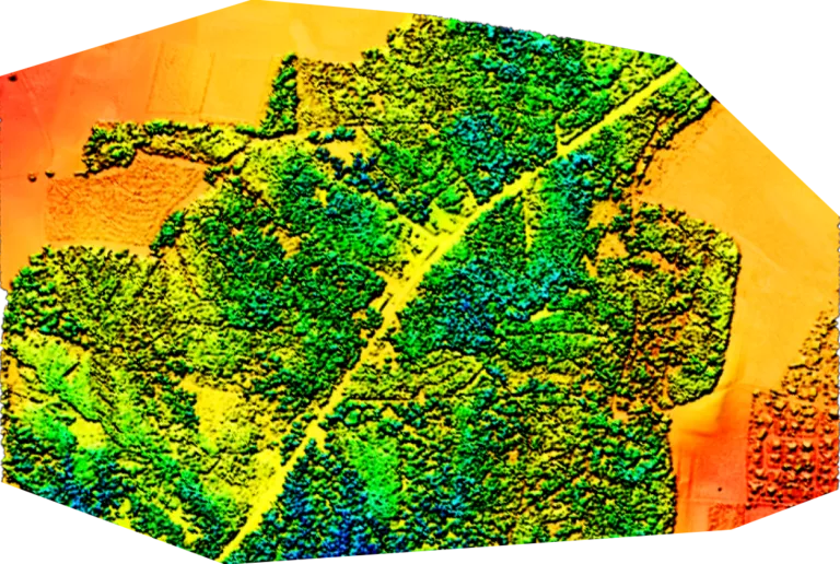
LIDAR - Maximum coverage with one flight
at 90 m (300 ft), 30% side overlap

WingtraOne
LIDAR
360 ha (890 ac)

Multicopter drones
LIDAR
144 ha (356 ac)
Reduce your costs
Faster data collection and expanded coverage mean fewer people in the field for less time, lowering the man-hour costs associated with data collection.
Data collection time and costs for an industrial complex of 1,200 ha (3,000 acres)
WingtraOne
Time
3 days
Cost
4,500 USD
Multicopter drones
Time
10 days
Cost
15,000 USD
Terrestrial tools
Time
20 days
Cost
30,000 USD
These three plots, totaling an area of 3,000 acres (1,200 ha), were mapped in three days with an absolute horizontal accuracy of 0.6 inches (1.5 cm). All figures are estimates and do not include post-processing and final output costs. Estimates are based on a $1,500 per day charge by the survey company.
A mapping drone for any situation
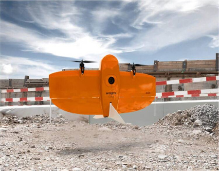
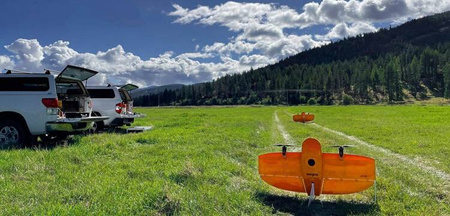
Thanks to its VTOL design, WingtraOne can take off and land almost anywhere—even in confined spaces or on rough terrain. This allows you to collect data where other drones cannot.
Thanks to its VTOL design, WingtraOne can take off and land almost anywhere—even in confined spaces or on rough terrain. This enables you to collect data where other drones cannot.
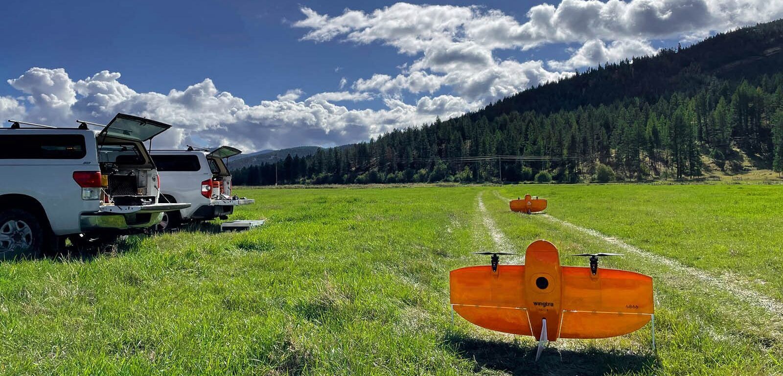
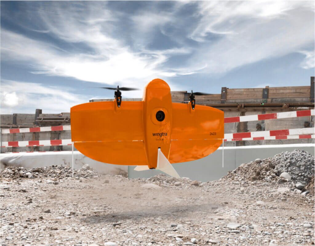
The WingtraOne's camera never comes into contact with the ground, preventing any debris from scratching the camera lens and thus extending the equipment's lifespan.
A drone you can rely on
No matter the conditions, WingtraOne operates safely and consistently delivers high-quality data.
Engineered and assembled in Switzerland
Each fixed-wing drone undergoes over 300 rigorous tests to ensure the highest quality standards.
Industry-leading reliability
More than 100,000 flights and six years of continuous testing and enhancements ensure maximum uptime for your operations.
Predictive self-diagnosis
WingtraOne uses advanced machine learning algorithms to automatically detect malfunctions based on thousands of flight data points.
Automated safety checks
Before every flight, WingtraOne automatically checks its sensors and actuators to ensure safe operation.
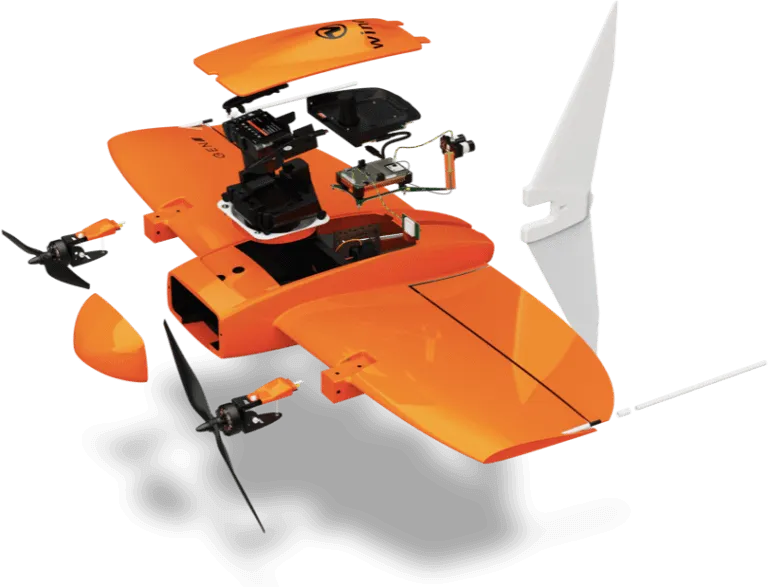
A sensor for every surveying job
WingtraOne makes no compromises on aerial image quality. Whether you need orthophotos, 3D models, multispectral mapping, or LiDAR data, WingtraOne offers the best sensor for every application.
RGB61
Powered by the Sony Alpha A7R Mark IV, the RGB61 ensures maximum coverage, superior accuracy, and a lighter data load while offering in-app light settings optimization.
MAP61
MAP61 is Wingtra's most efficient mapping sensor, designed for large-scale 2D mapping and high-resolution 3D reconstructions.
Sony a6100
The Sony a6100 camera offers the best combination of accuracy and coverage at an affordable price.
Oblique Sony a6100
Optimized to map vertical structures, the Oblique Sony a6100 allows you to generate high-resolution 3D meshes with centimeter-level absolute accuracy.
MicaSense RedEdge-P
Premium multispectral camera combining a panchromatic sensor with five narrow bands to produce high-resolution multispectral and RGB data from a single flight.
Wingtra LIDAR
WingtraOne and its LiDAR sensor combine efficiency, ease of use, and reliability to create exceptional digital terrain models, revealing the terrain beneath dense vegetation.


