Guide


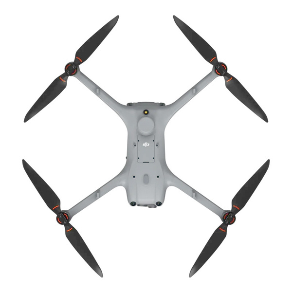
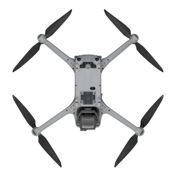
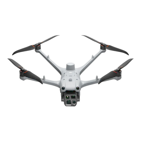
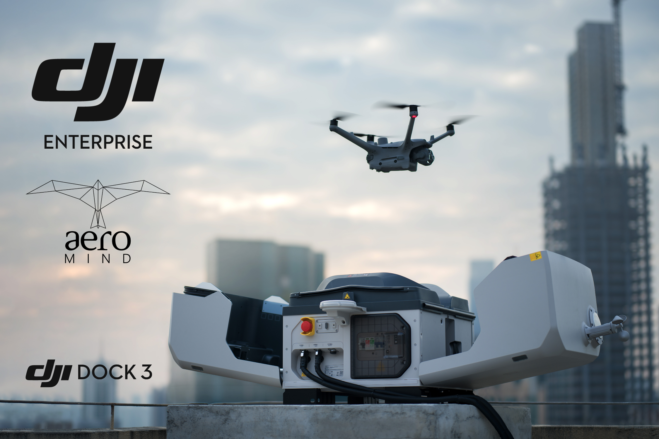
The DJI Matrice 4TD is an advanced drone designed to work with the
DJI Dock 3
.
However, it can also operate independently – simply pair it with the DJI RC Plus 2 Enterprise controller.
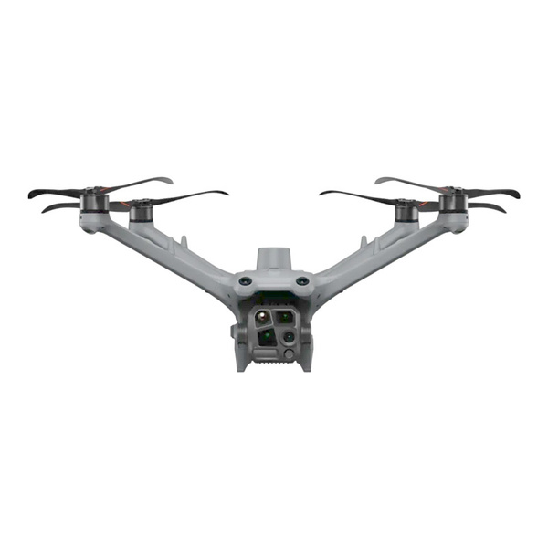
This model features an advanced camera system, intelligent functions, and a robust construction
resistant to harsh weather conditions. Moreover, with up to 54 minutes of flight time, it's perfect for
applications such as surveillance, infrastructure inspections, or search and rescue missions.
The key highlight of the Matrice 4TD is its built-in thermal camera with a resolution of 640×512, based on
an uncooled VOx microbolometer, enabling precise temperature measurement and observation in total darkness,
smoke, or poor weather conditions. The camera supports spot and area temperature measurement modes and,
with its wide temperature range (-20°C to 500°C) and various color palettes, it is ideal for tasks such as
search and rescue, firefighting, energy diagnostics, and industrial inspections.
The system also supports UHR (Ultra-High Resolution) mode, delivering a sharper thermal image
at a resolution of 1280×1024. With up to 28× digital zoom and temperature measurement accuracy of ±2°C
(or ±2%), this model is an extremely versatile tool for advanced aerial thermal surveillance and analysis.

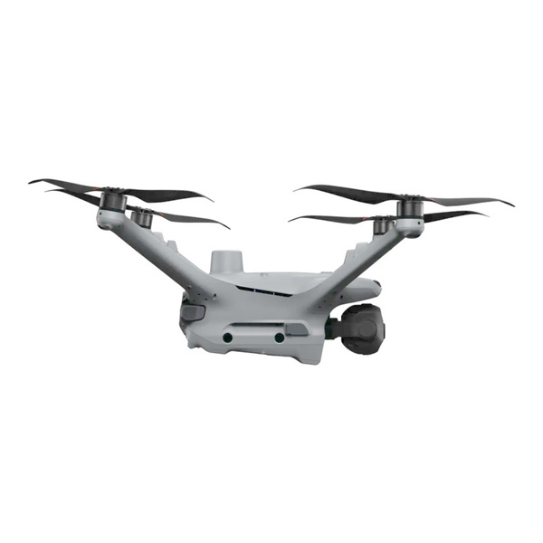
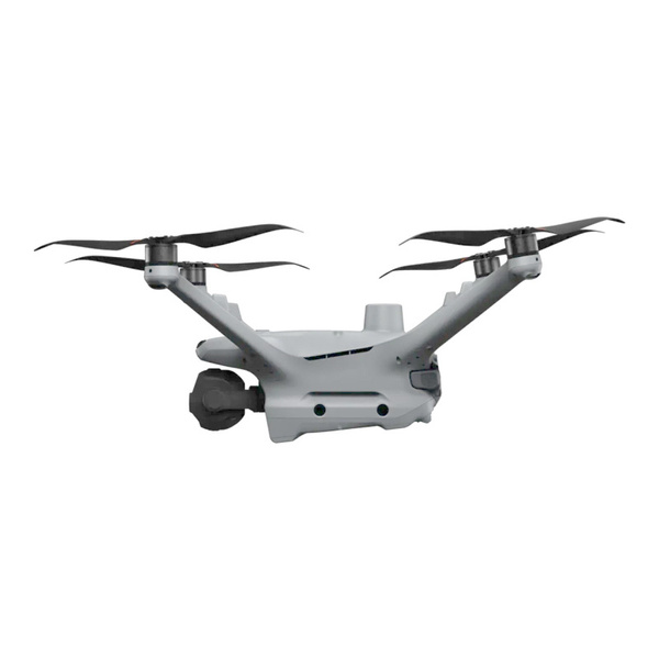
The drone is equipped with an advanced camera setup that delivers rich detail in all conditions. The wide-angle camera features a 1/1.3" CMOS sensor with 48 MP resolution and an f/1.7 aperture, offering a wide field of view and excellent image quality even in low-light conditions. Two telephoto lenses – medium (70 mm) and long (168 mm) – also offer 48 MP resolution, allowing you to capture detail from great distances. Additionally, the Matrice 4TD has a built-in laser rangefinder for precise measurements up to 1800 m and a thermal camera with 640×512 px resolution, ideal for thermal inspections and night operations.

The DJI Matrice 4TD supports a range of AI-based features that significantly enhance operational efficiency. When paired with DJI Dock 3 and DJI FlightHub 2, it enables automatic route planning and object monitoring. It can intelligently recognize vehicles and vessels, and immediately alert the operator in case of anomalies. Moreover, with the Smart Track function, the drone can follow moving targets, and smart change detection facilitates long-term area monitoring, which is particularly useful in environmental protection and infrastructure inspections.

Thanks to its optimized power system, the drone can fly for approximately 54 minutes, and hover for up to 47 minutes. Its design meets the IP55 standard, providing high resistance to water and dust. Additionally, the Matrice 4TD is equipped with an anti-icing system on the propellers, ensuring stable operation even in adverse weather conditions such as freezing rain or low temperatures.

The drone can be equipped with an optional obstacle detection module that combines LiDAR technology with electromagnetic waves ranging from 1 to 10 mm in length. This enables effective avoidance of even small objects such as power lines. As a result, the Matrice 4TD navigates demanding operational environments (at speeds up to 15 m/s) with ease while minimizing the risk of collisions.

The DJI Matrice 4TD provides clear visuals both day and night, thanks to its IR-Cut filter that delivers sharp black-and-white images. It also includes a built-in NIR auxiliary light that illuminates up to 100 meters, improving visibility in darkness. Furthermore, the thermal camera supports the UHR Infrared Image mode, increasing resolution to 1280×1024, and the High-Res function ensures even greater detail.

The Matrice 4D series is equipped with advanced telephoto cameras and foreground stabilization technology, significantly enhancing image quality during remote monitoring. This allows operators to precisely identify defects and read critical information even from high altitudes.

The DJI Matrice 4TD is ideal for geodetic and cartographic applications. It supports oblique and orthophoto imaging, enabling the creation of accurate terrain models. Intelligent flight route planning ensures fast and efficient data collection, improving the accuracy of area mapping and modeling.

Thanks to DJI Relay technology, the drone maintains stable signal transmission even in areas with limited infrastructure, such as mountains and other remote locations. This makes it perfect for search and rescue missions and infrastructure inspections where reliable communication is crucial.
