In this article, we introduce you to the latest software that significantly reduces the time and increases the effectiveness of drone search and rescue operations. SARUAV uses the latest technologies in image analysis, aerotriangulation and neural networks for this purpose. We invite you to read on.
Guide
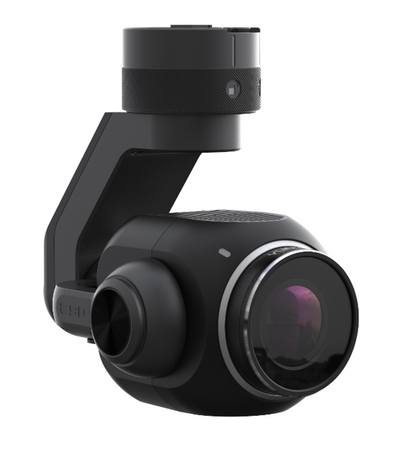
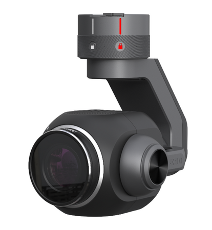
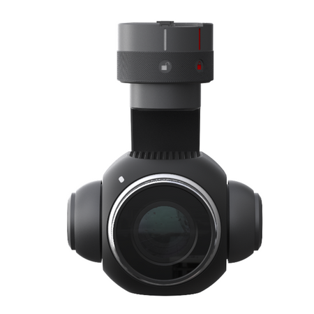
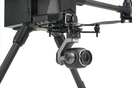
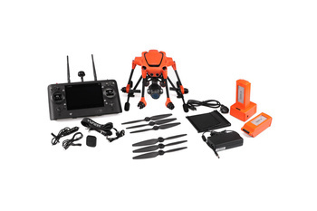
In this article we are taking a closer look at the new, all-professional RTK drone, the Yuneec H520E RTK, which allows creating fast and precise surveys without control points.
What is a multicopter useful for and what is not, and a lot of practical remarks to be taken into account in photogrammetry. We invite you to read a review of the new Yuneec H520E drone from the point of view of surveyors.