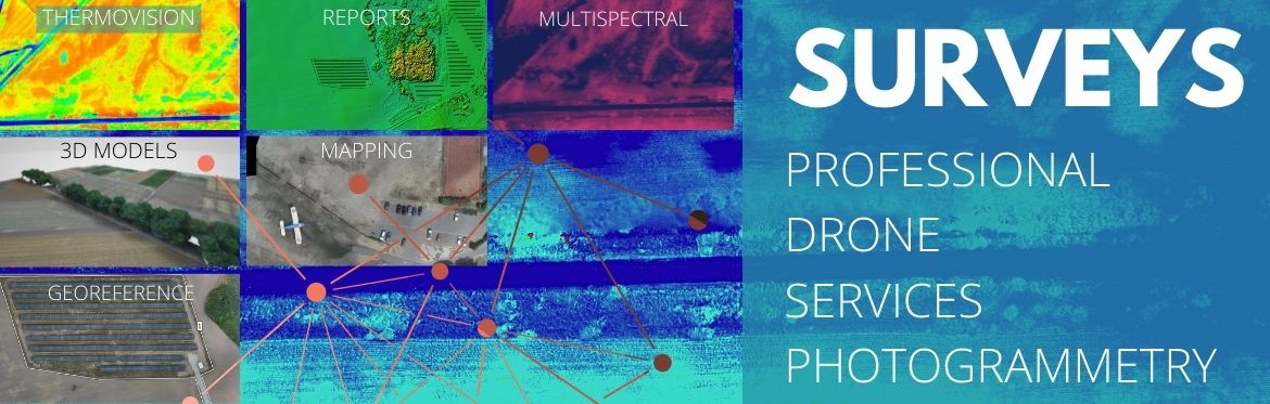
We offer professional photogrammetric services, carried out on high-end equipment. Over the years of working with drones, we have gathered the knowledge and experience that allows us to provide the highest level of services.
The above price is indicative and concerns 10ha of photogrammetric survey. At the end of this page you will find the information necessary to prepare an individual quotation.
If you are considering the purchase of a photogrammetric drone set from aeroMind, it is worth considering ordering a single survey service, to verify in practice how this solution will work for you.
Photogrammetric services are tailored to the requirements and needs of the Client. The service is scalable, and can be limited to acquiring raw aerial photos, or can also include processing of images to deliver a finished photomap and/or a PDF measurement report.

___________
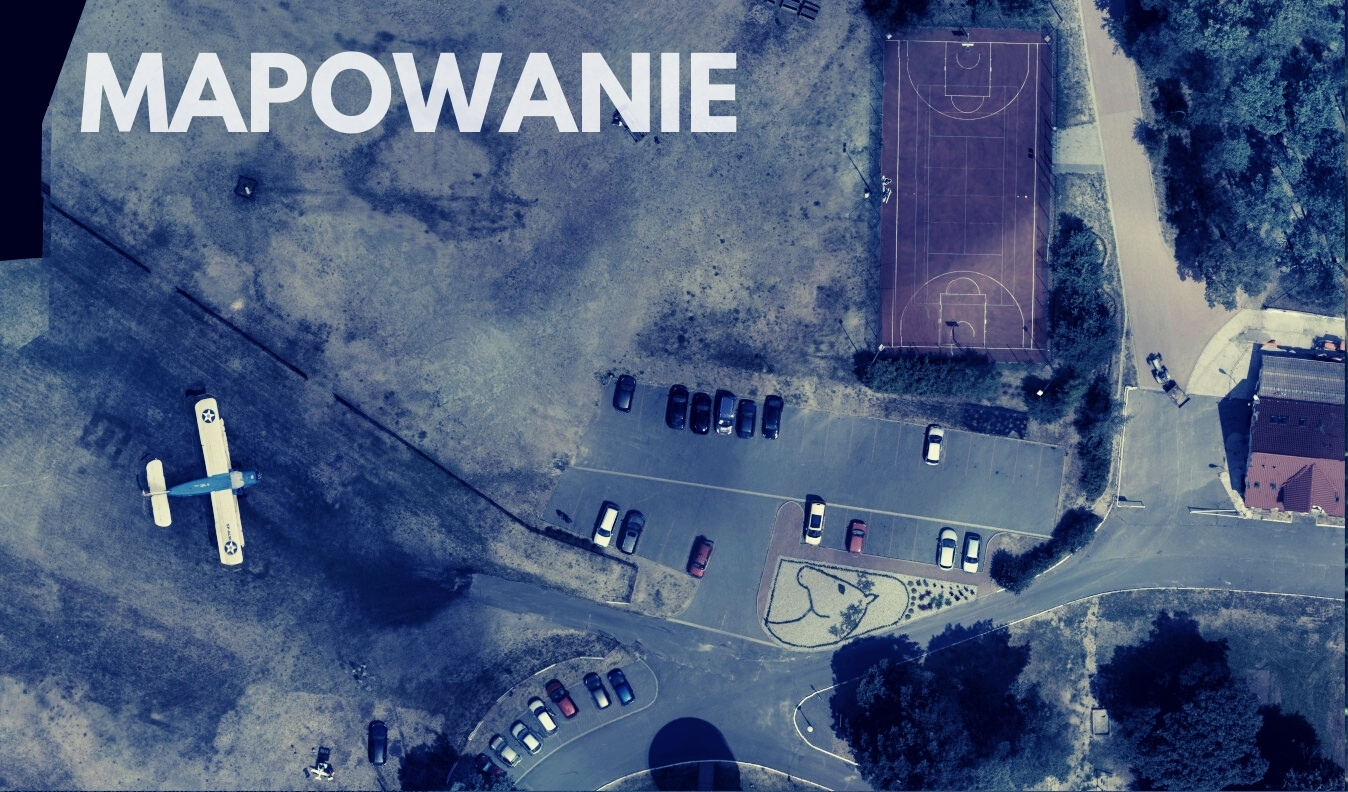
PHOTOGRAMETRIC MAPPING SURVEY
Taking orthogonal aerial photographs (with the camera pointed vertically downwards) over a designated area, with a specified photo overlap and GSD (Ground Sample Distance i.e. how many cm in the real world are there per 1 pixel in the photo). Raw images are delivered to the client. These are taken with a high resolution EO camera.
___________
PHOTOGRAMMETRIC SURVEY FIR 3D MODELLING
As above, but coverage, resolution and camera configuration are optimised for creation of 3D models.

___________
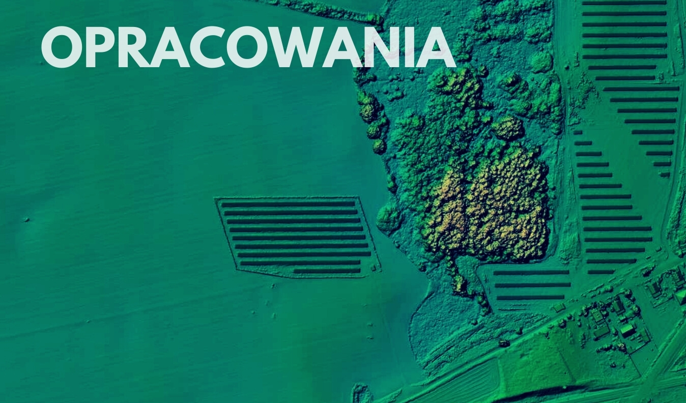
SURVEY AND PROCESSING
After taking the photos, we process them in photogrammetric software. We deliver a composite orthophoto map and/or numerical land cover model (NMPT) along with the raw aerial photos. In case of a 3D model survey, we also provide a model or a point cloud. The map and model can be used to measure distances, areas (e.g. agricultural damage), volumes (e.g. stockpiles of material) and more.
___________
HIGH GEOREFERENCE ACCURACY OPTION
Photogrammetric survey will be performed using a drone with RTK/PPK technology and/or ground reference points (GCP). Overall georeference error of the finished map with this option is about 2-3 cm. This option is recommended especially for geodetic surveys, construction sites, precise measurements and wherever high accuracy is important.

___________
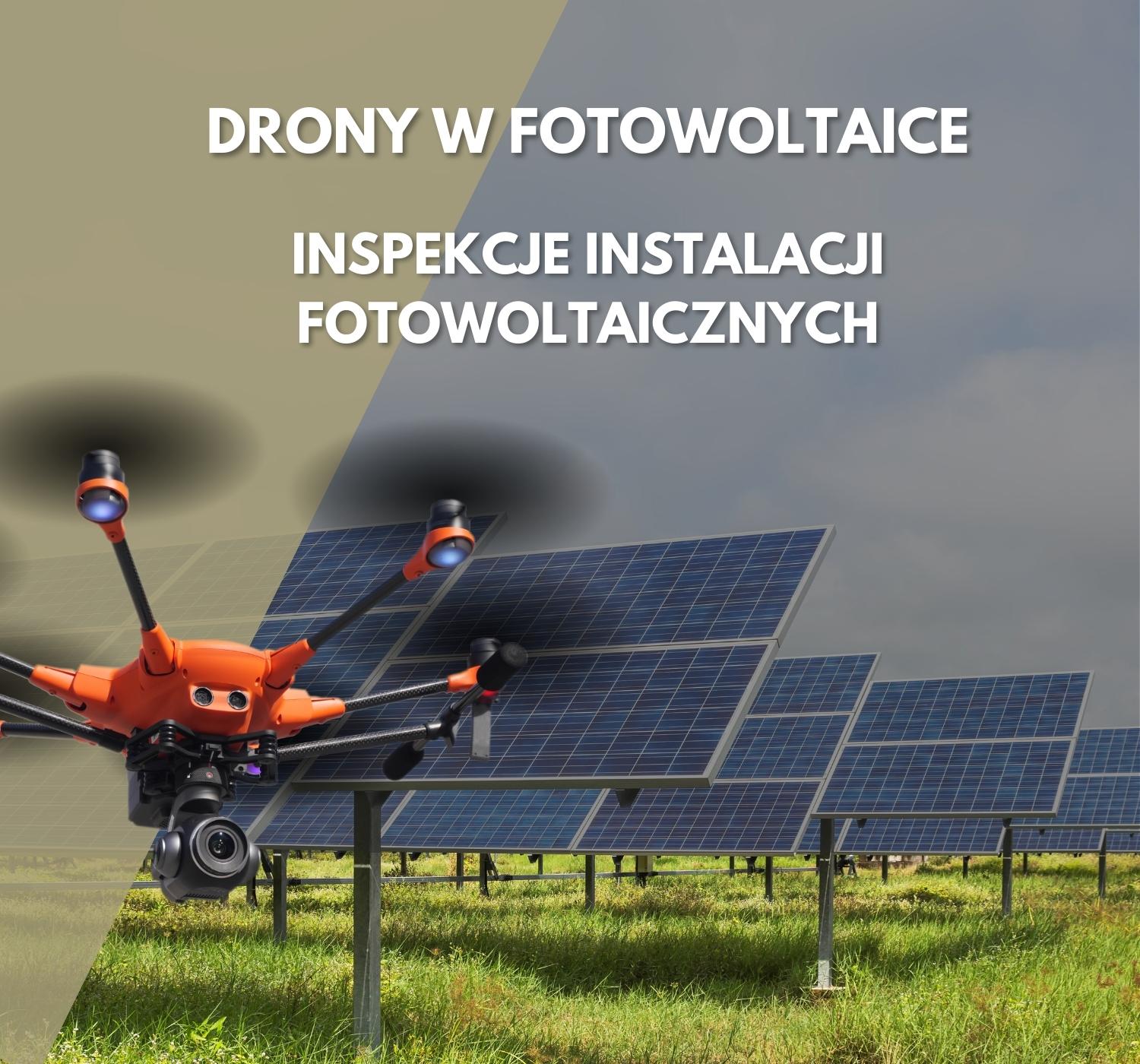
PHOTOGRAMMETRIC SURVEY WITH SPECIALISED MULTISPECTRAL OR THERMAL CAMERAS
Multispectral cameras are widely used in botanical studies, agricultural assesments and in archeology. Using a multispectral sensor allows us to create vegetation index maps, which are a tool to for measure the health/stress of plants (e.g. in a crop field or forest). Thermal imaging maps and models are used in ground research, nature studies and various industries, , especially in construction and photovoltaics.

___________
QUOTATION
Please note that the price given at the top of this page is indicative and relates to a photogrammetric survey of an area of 10 ha.
Orders are valued individually depending on the location, area, required field resolution, used equipment, deadline and other parameters.
In order to obtain a definite quote, the following information is necessary, sent by e-mail (kontakt@aeromind.pl):
- area
- plot numbers
- expectations regarding the camera
- expectations regarding field resolution
- lead time
- air raid variant
If you have any questions or concerns, please contact us at: kontakt@aeromind.pl.