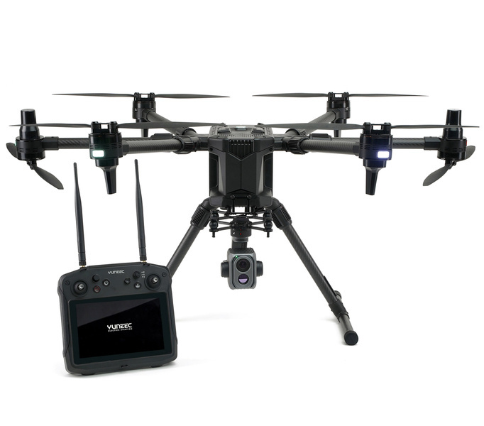
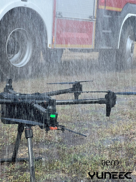
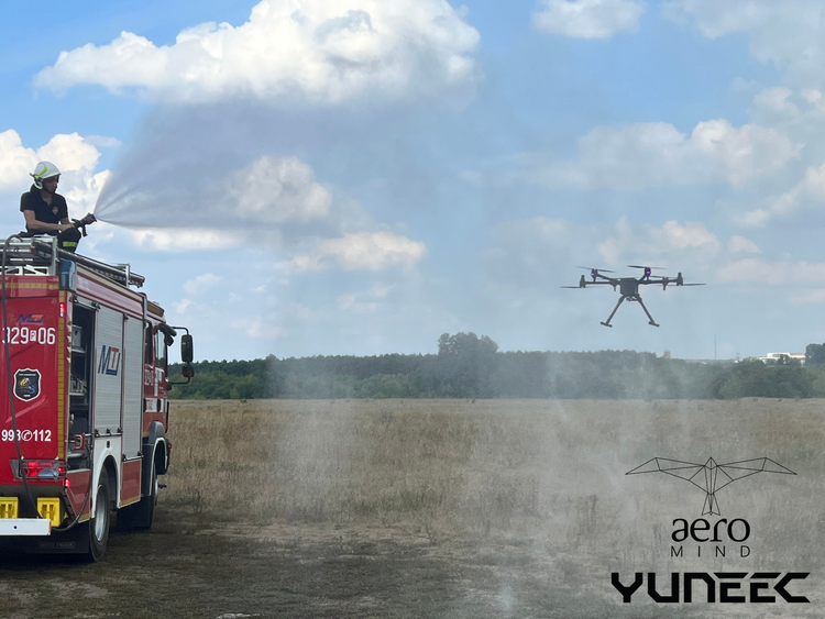
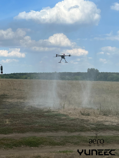
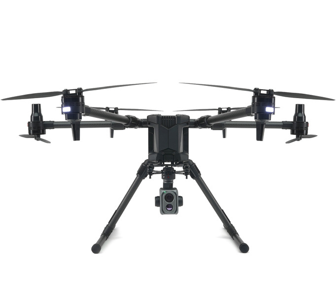
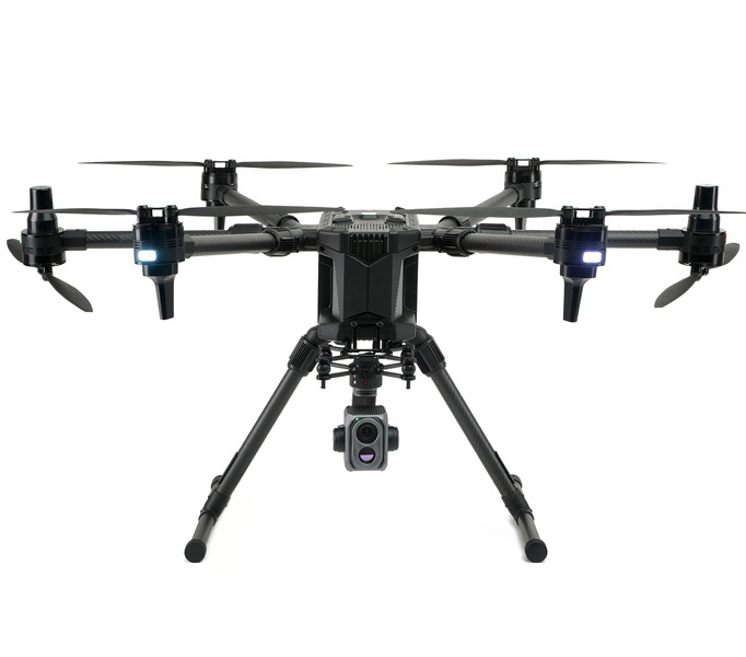
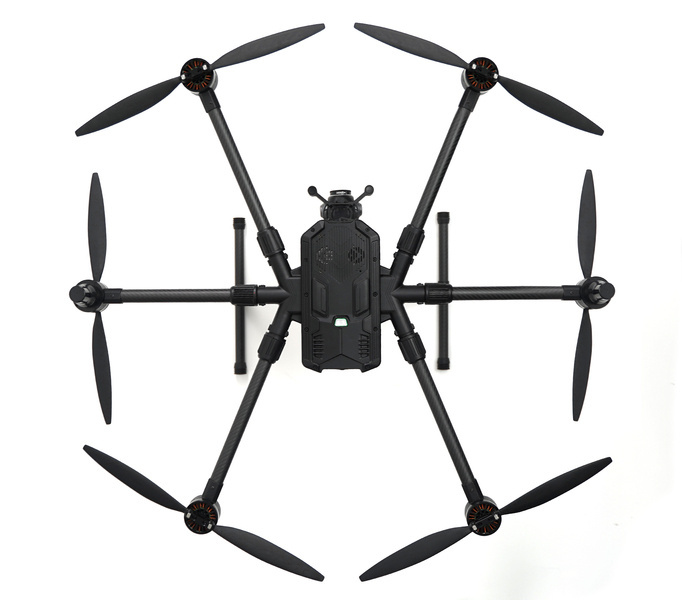
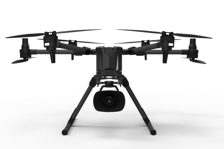
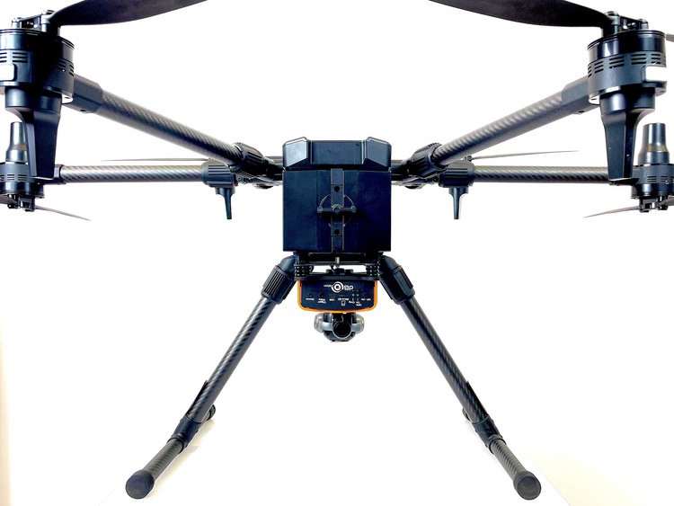
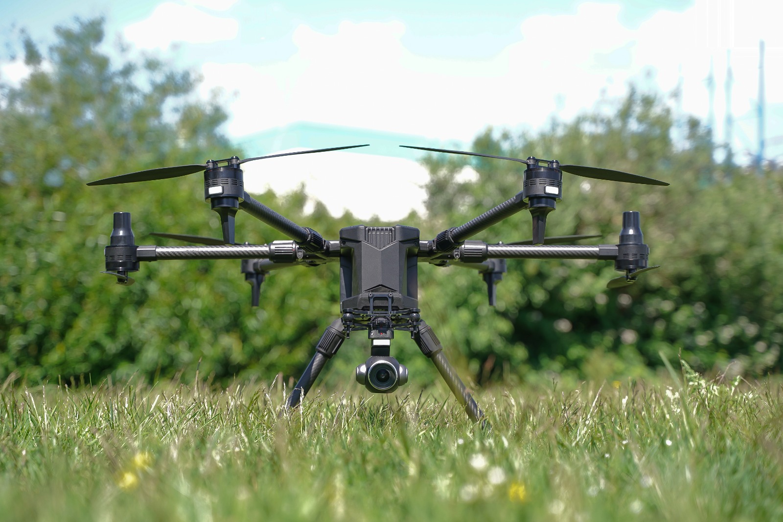
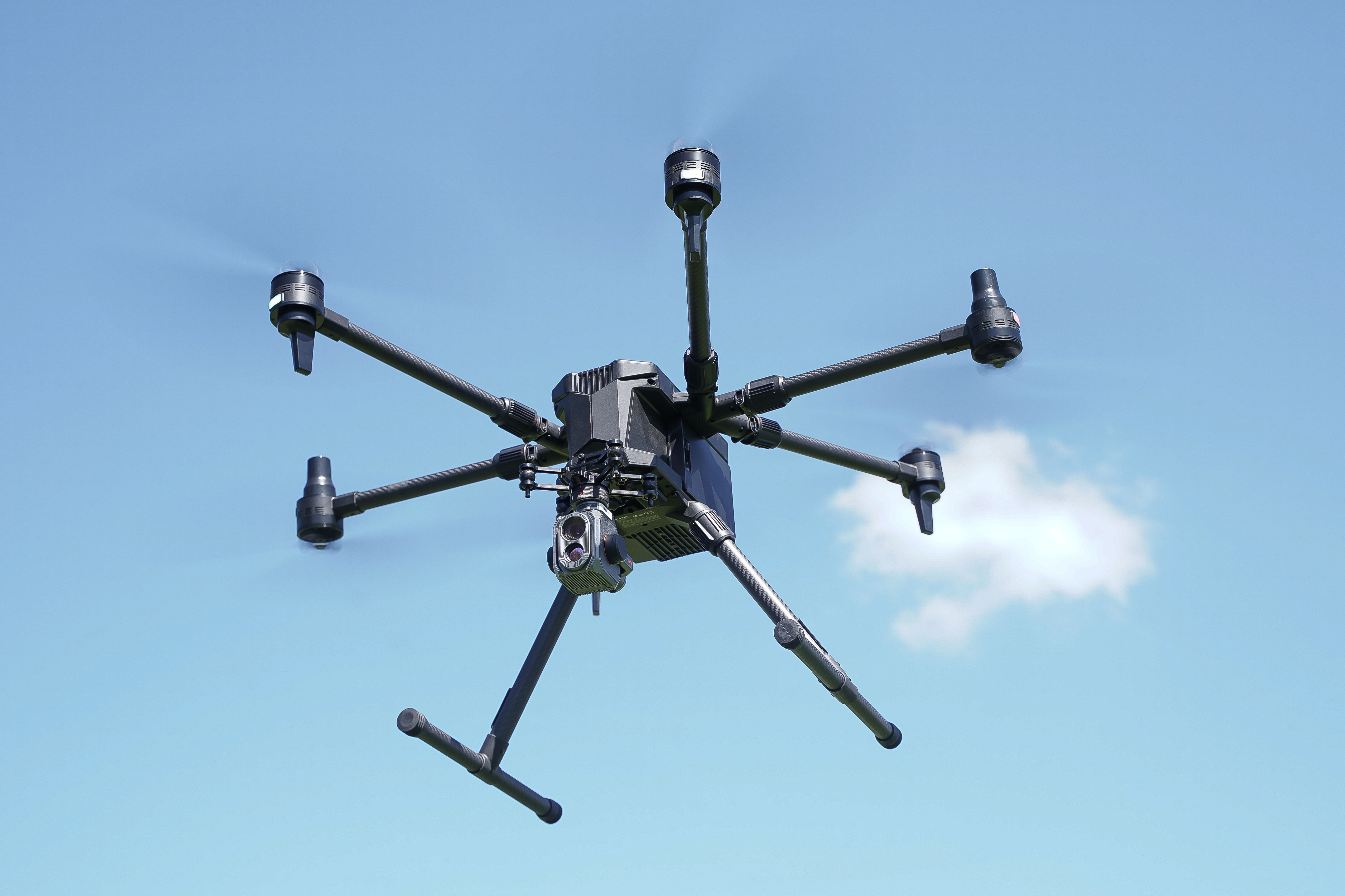
The new H850-RTK is designed specifically with inspections, surveying, public safety applications and fawn rescue in mind.
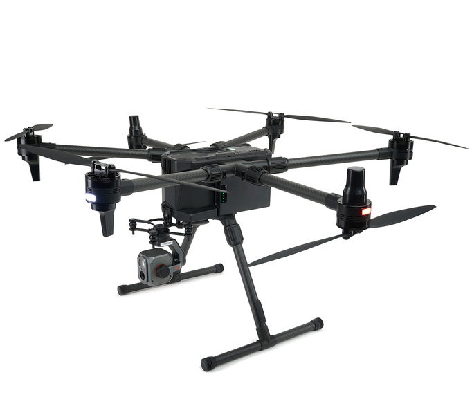
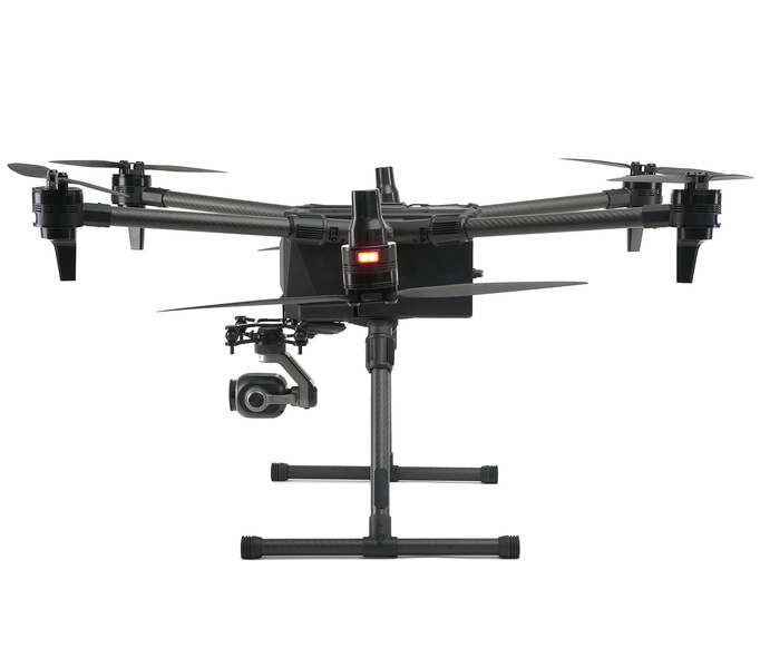
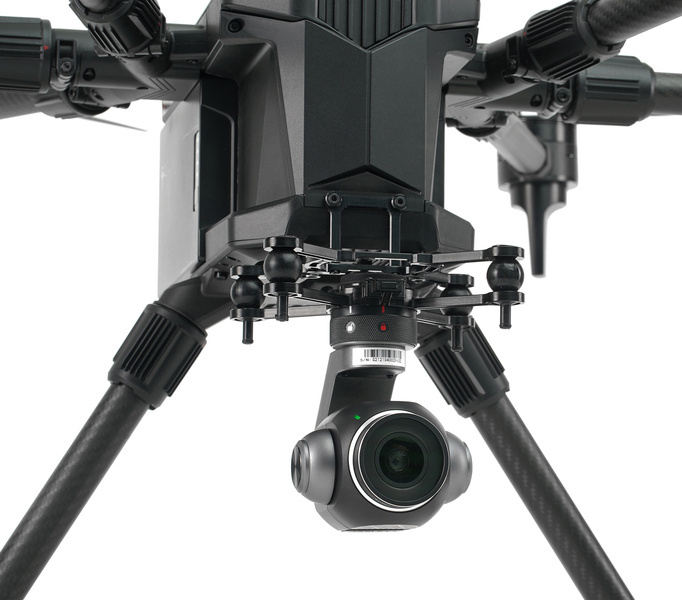
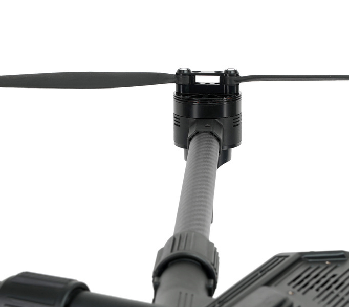
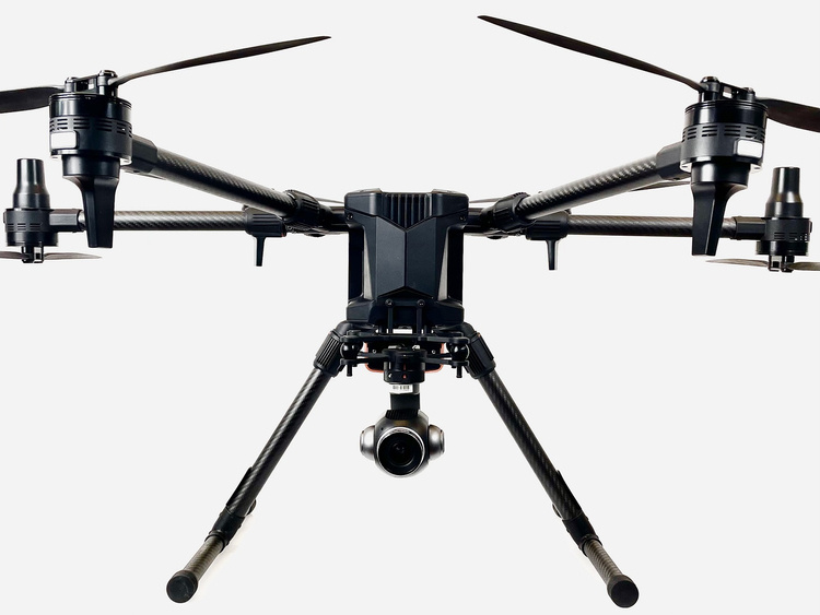
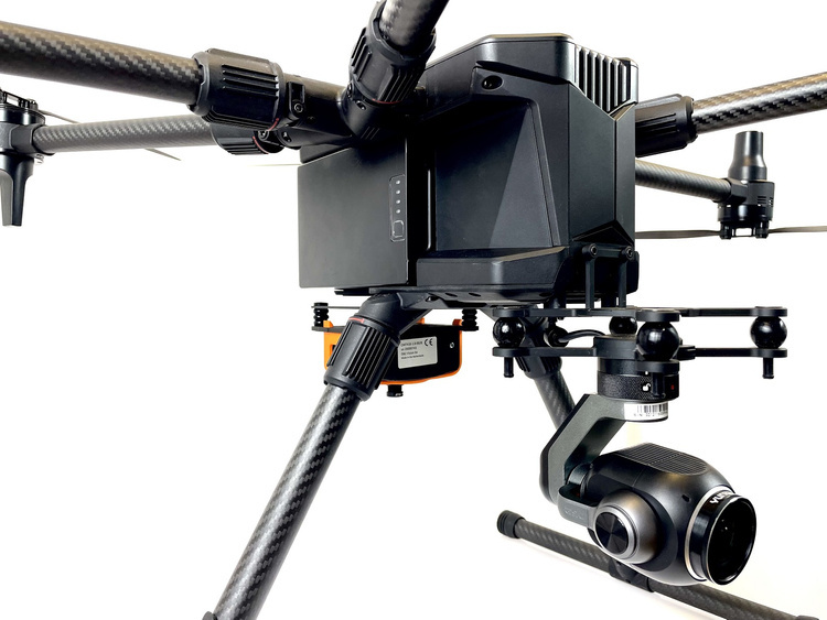
Our hexacopter design offers more safety, power, efficiency, stability and capacity to carry heavier payloads. Depending on the payload and weather conditions, flight times up to 65 minutes are possible. All H520E payloads are compatible with the H850-RTK. This makes it easier for you to use our payloads on two different platforms: the H520E & the H850.
In addition to the performance and payload flexibility, great emphasis was placed on the H850 flight and data security when developing it. Flight data belongs to you and to nobody else.
The H850 is equipped with a dual IMU, compass, barometer, dual RTK antennas and two smart batteries. Even with only five motors running you are able to land the H850 safely. You can install with one click the YCAP-certified Drone-Tag device for remote ID, which will become mandatory in Europe in 2023.
Remote Identification (EU): LTE+Bluetooth, prepared for U-space (optional module)
___________
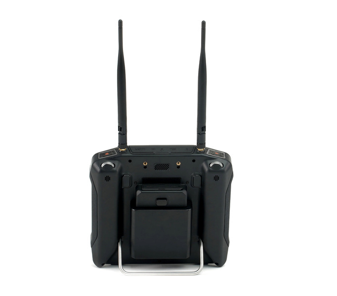
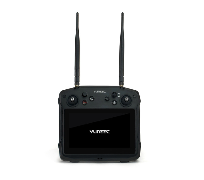
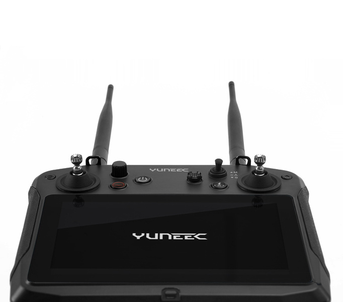
CONTROLLER T-ONE
7-inch touchscreen
screen resolution 1920x1200
luminance 1000 nits
range 15km FCC / 8km EU range
operating time 8 hours
battery 10,000 mAh/7.4V
dual 40Mbps bandwidth
dynamic frequency conversion
IP x4
high-performance Cortex A72&A53 processor
Android 10
32Gb ROM / 4 Gb RAM
HDMI
USB-C, USB-3 & USB-2
Micro SD
weight only 1.2kg
locked data sharing
___________
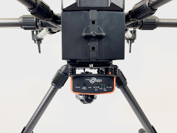
MODULE RTK
RTK (Real-Time Kinematic) module for high precision relative positioning: 1cm +1ppm(horizontal); 1.5cm+1ppm(vertical)
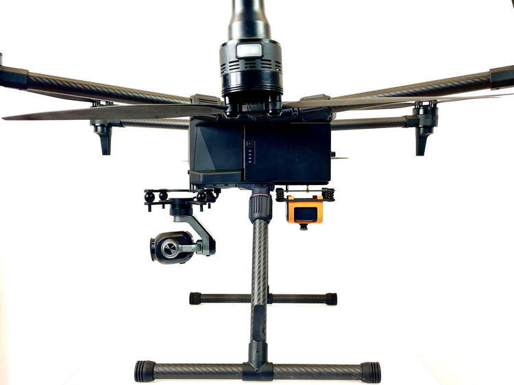
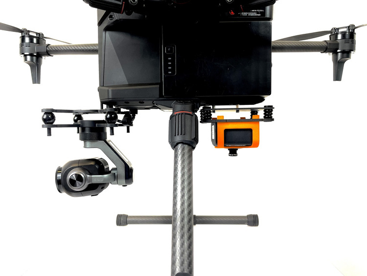
Dual RTK antenna. The dual antennas on the H850-RTK ensure that one antenna is always transmitting in case one antenna is turned off.
Maintain centimeter precision even in demanding GNSS environments.
Built for faster and more precise mapping (e.g., complex surveys, inspections, mapping, 3D mapping).
Position, velocity and time update frequency - 5 Hz.
All data, including raw GNSS and other real-time data, can be recorded on board - and is available for PPK (Post Processed Kinematics).
Support for signals of up to four GNSS constellations among GPS, GLONASS, Galileo and BeiDou.
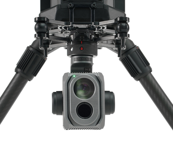
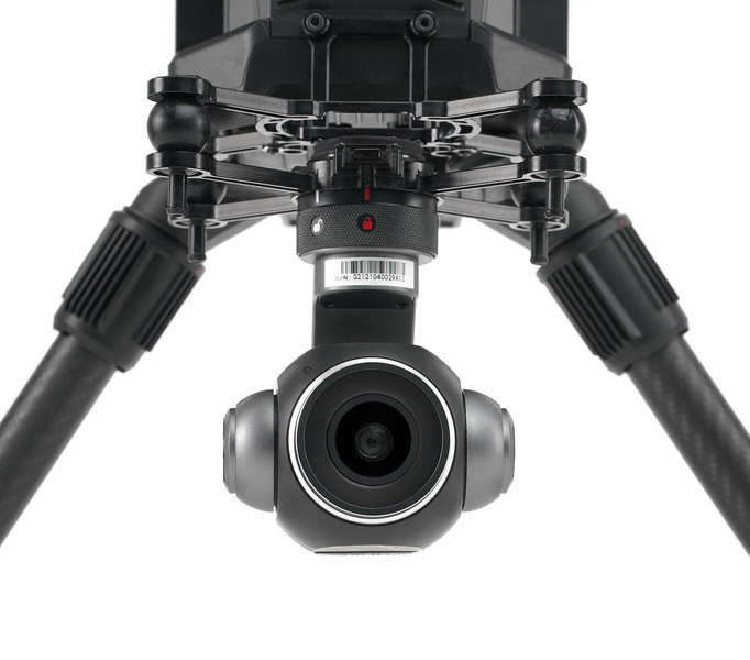
Compatible with all existing payloads for the Yuneec H520E
___________
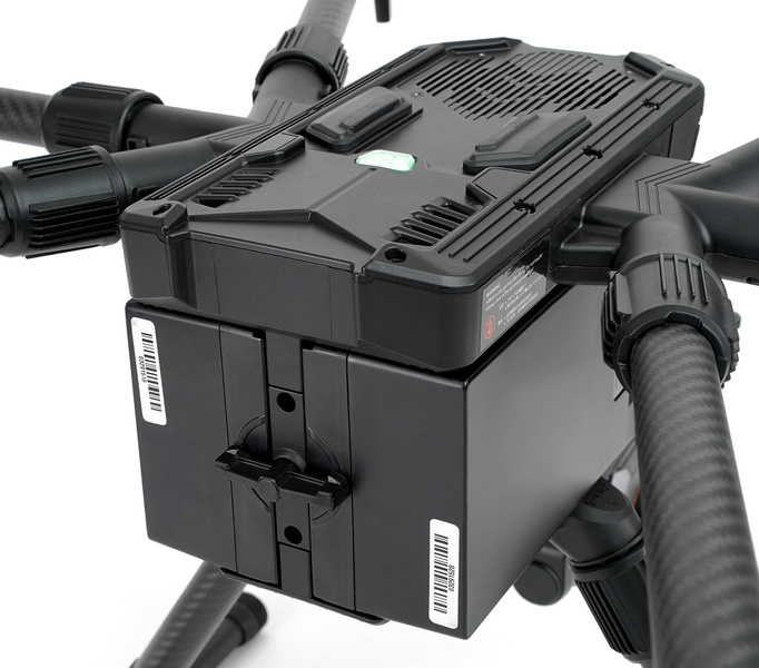
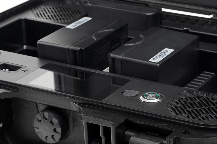
INTELLIGENT BATTERIES
Dimensions: 98×58×149mm
Battery capacity: 12800mAh
Power stored: 295.68Wh
Standard voltage: 23.1v (3.85v/cell)
Charging voltage: 26,4V
Battery type: lithium battery
Fast charging: 1C (10A).
Charging time: 1.5 hours
Maximum continuous discharge current: 64A
Maximum discharge current: 128A
Weight: 1390g
Operating temperature: 0℃+45℃
___________
CHARGING STATION
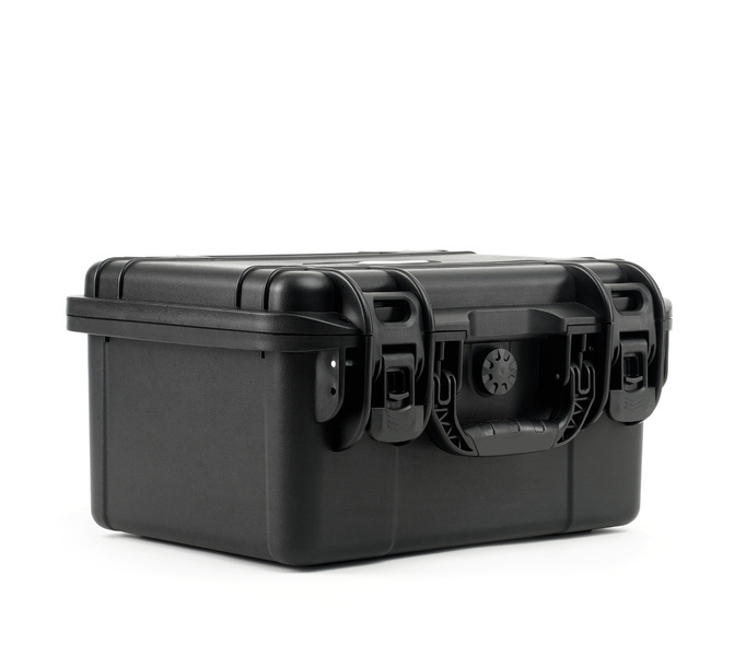
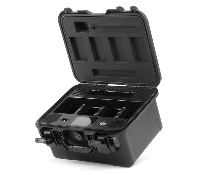
With the H850 Power Charging Case, you are able to charge four batteries for the H850 and two batteries for the T-one at the same time! Thanks to the hard-case design, you can store and transport them safely. The compact design makes the Power Charging Case easy to carry.
-3.5" color LCD display -power 1140W (200v-250v) -power supply 220V/110V -transport case -easy to use -audible alarm -compact dimensions (370×270×220mm) -foam battery cover
___________
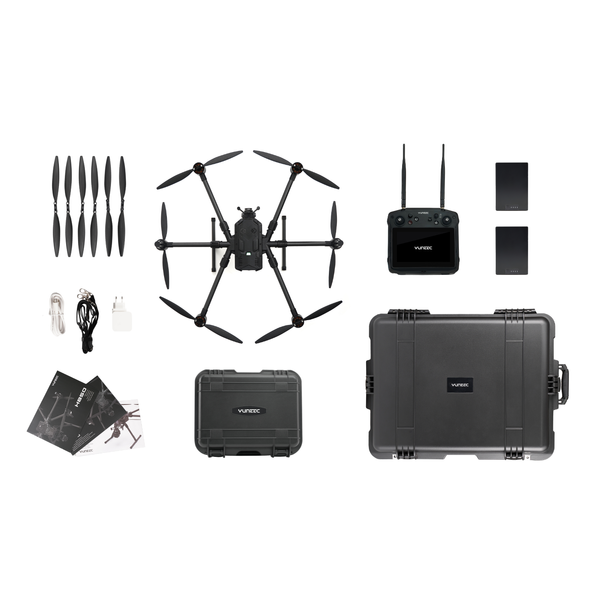
CONTENTS OF THE SET
1x Drone Yuneec H850-RTK 2x battery for the H850-RTK drone 1x T-one controller 1x rechargeable battery for T-one controller 1x carrying case 1x charging station C-box 1x repair tool kit 1x quick start manual 1x reference card
Do you need help? Do you have any questions?Ask a question and we'll respond promptly, publishing the most interesting questions and answers for others.
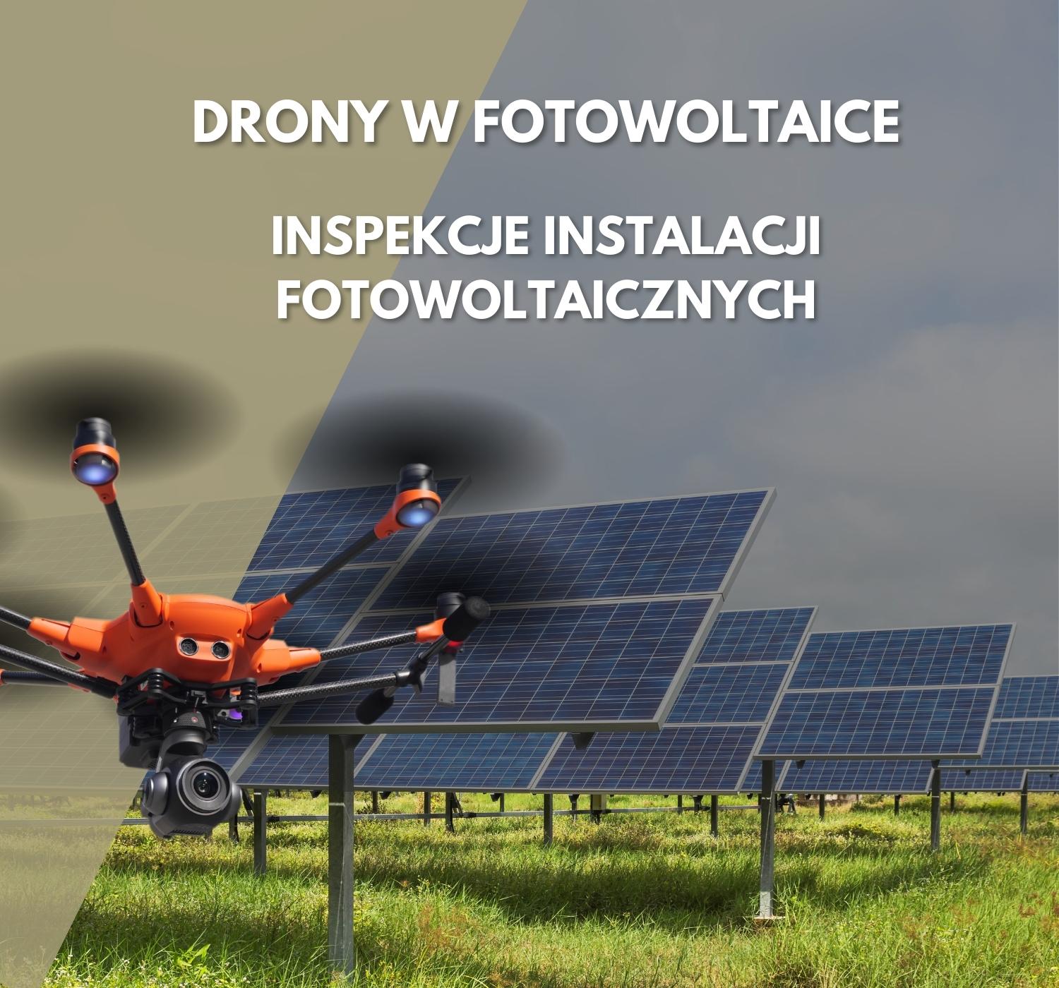
In recent years, renewable energies such as solar power have become increasingly popular. With the increase in the number of photovoltaic installations, there has been a demand for effective methods of reviewing them. One of the most promising tools for this purpose is drones. In this article, we'll discuss why drones are so effective in reviewing solar installations and what benefits they bring.
Surveyors and GIS professionals have the highest standards regarding their tools and craft.
It's no wonder that many surveyors are using our drones for mapping and 3D modelling needs.
Using the H850-RTK together with the latest ATL 102S V3 camera, surveyors have at their fingertips the best solution in terms of accuracy and quality to reduce time, cost and effort, compared to traditional surveying techniques.
The weather reminds us more and more insistently that autumn has begun and summer has come to an end. That's why we're thinking back to hot June, when at the Muchowiec airport near Katowice we took part in the next edition of the DRONIADA technology competition, organized by the Micromacro Institute Foundation.
This page uses cookie files to provide its services in accordance to Cookies Usage Policy. You can determine conditions of storing or access to cookie files in your web browser.